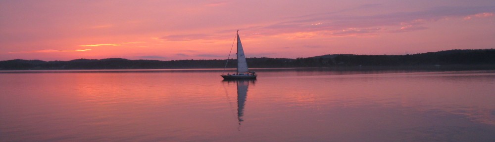
Written and posted November 27, 2013
We’re now sitting in Mobile, Alabama, at Dog River Marina, having arrived on Sunday, November 24th. We’ve been waiting for high winds and waves on Mobile Bay to subside before continuing the 18 or so miles down the bay and into the Alabama Canal heading east. Tomorrow, Thanksgiving day, may be the day we get out of here and closer to home!
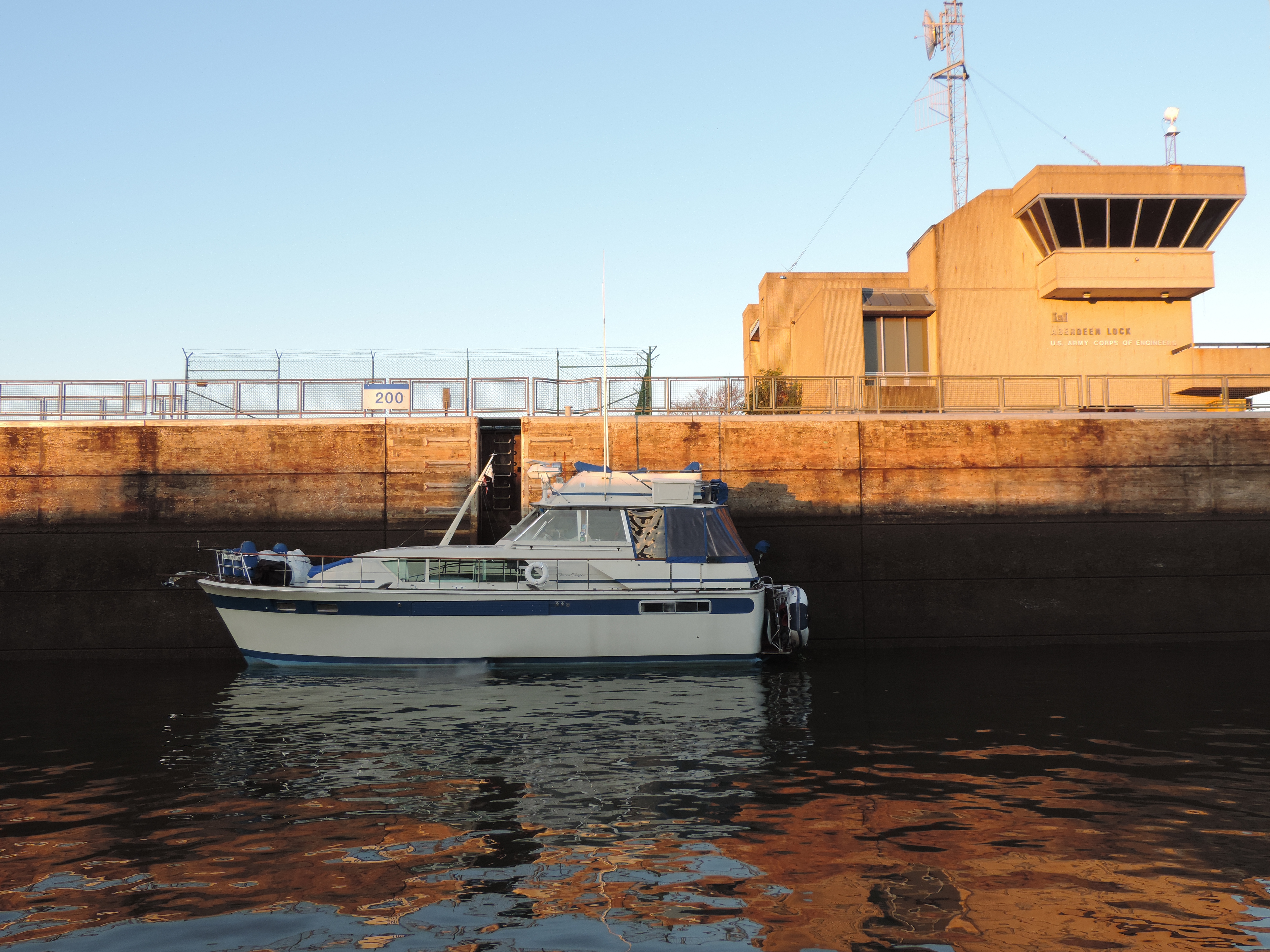
Restored Chris Craft Commander in the Aberdeen Lock at mile 358
Four boats left Aberdeen Marina at 0630, Monday, November 18th and a few minutes later were in the Aberdeen Lock and then on our way. One of the boats was a beautifully restored Chris Craft Commander. Here she is in the Aberdeen Lock.
A few hours later we transited the Stennis Lock and by mid-afternoon had the anchor down in a large body of water at Pickensville, mile 308.1. The night was calm but cold and we ran the generator for a few hours in the evening to warm the boat up before going to bed with the electric blanket!
Day: 51.8SM/45.1NM – 7H35M Trip: 3988.8NM/4583.4SM – 676H10M
The next day, Tuesday, November 19th, we transited the Bevill Lock and five hours later the Heflin Lock. We anchored for the night in the ox-bow immediately below the Heflin Lock and it provided a good shelter from the wind that picked up a little during the night.
Day: 43.2SM/37.6NM – 6H25M Trip: 4026.4NM/4626.6SM – 682H35M
The current from the dam spillway was about 2 MPH the next morning when we awoke and got underway at 0735, Wednesday, November 20th..There was a thin layer of fog on the water as the temperature had dropped to about 36 degrees overnight and the water was still relatively warm.
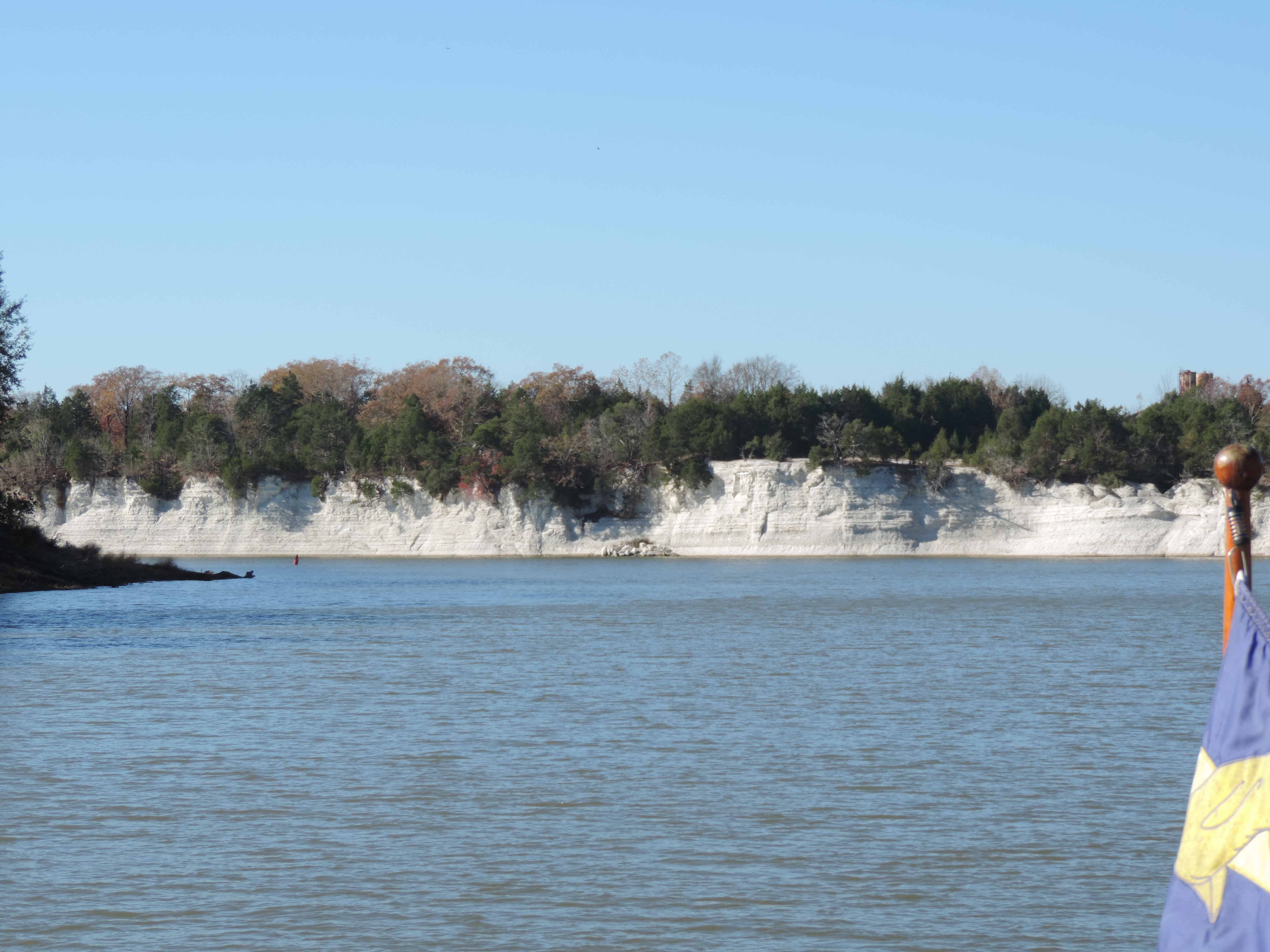
White chalk cliffs at Eppes, Alabama
We passed several sections of spectacular white cliffs along the riverbanks.These at Epes, Alabama, consist of chalk deposited about the same time as the White Cliffs of Dover (England).
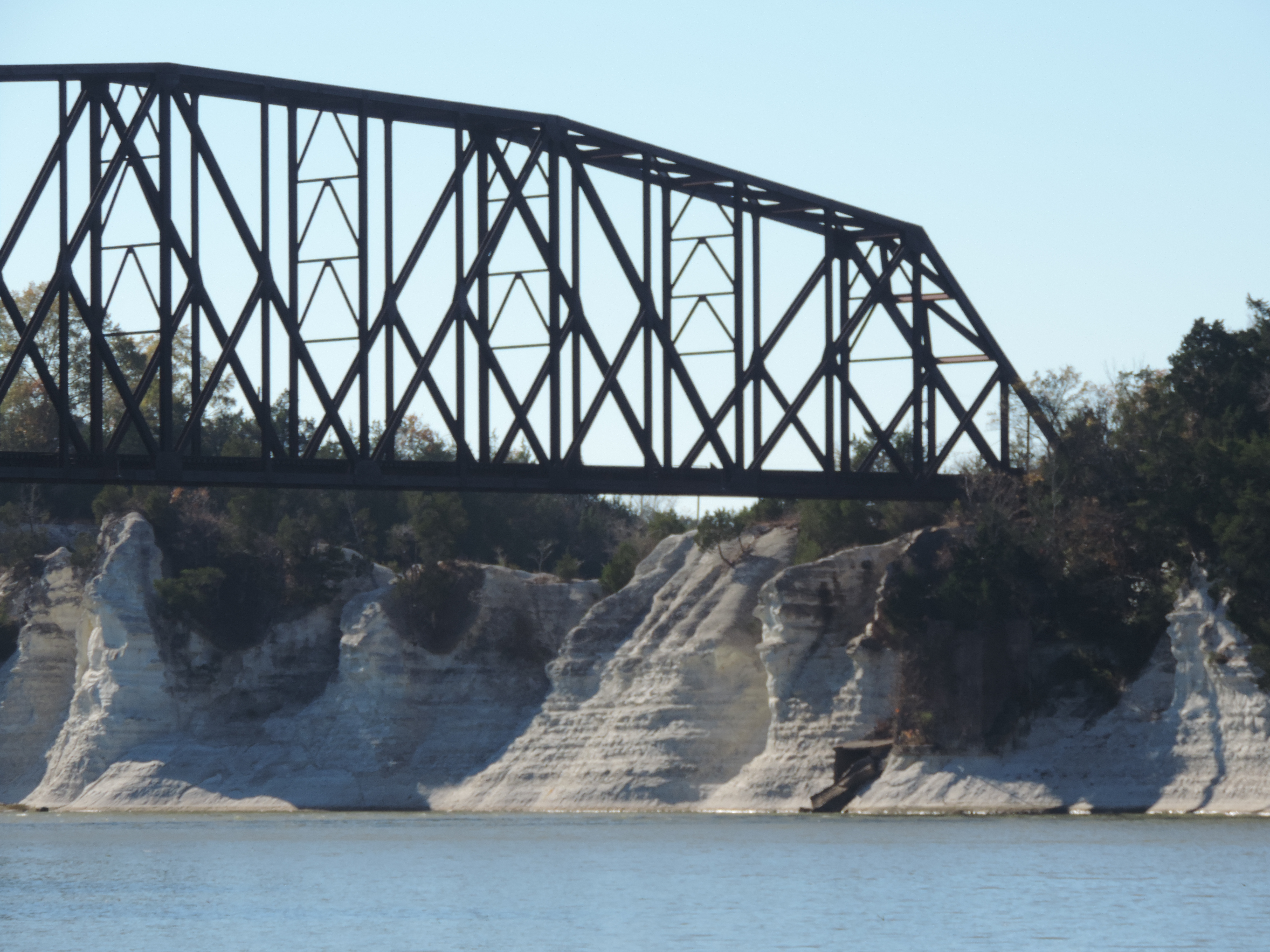
White chalk cliffs at Eppes, Alabama
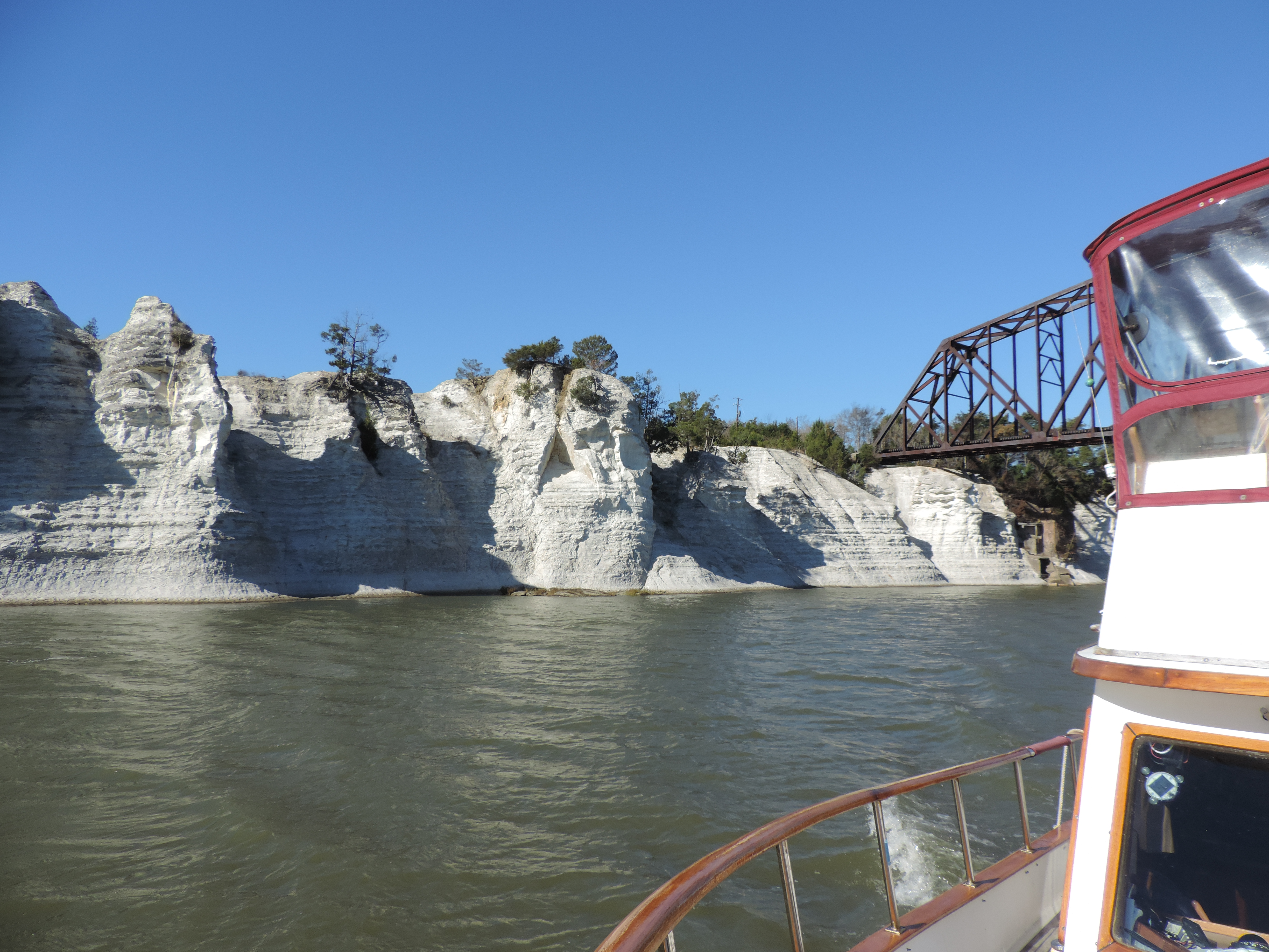
White chalk cliffs at Eppes, Alabama
By 1405 we were tied to a dock at Kingfisher Marina at Demopolis, Alabama, mile 217. We used the provided golf cart to drive from our dock to the marina office about a mile away to register and pay for the night, and later in the day drove to an on-site restaurant where I sampled shrimp and fried grits – a little different from the standard shrimp and grits that I’ve gotten in other places.
Day: 49.8SM/43.3NM – 6H30M Trip: 4069.8NM/689H05M
Our next day underway, Thursday, November 21st, was a day of animal sightings! The photos tell it all.
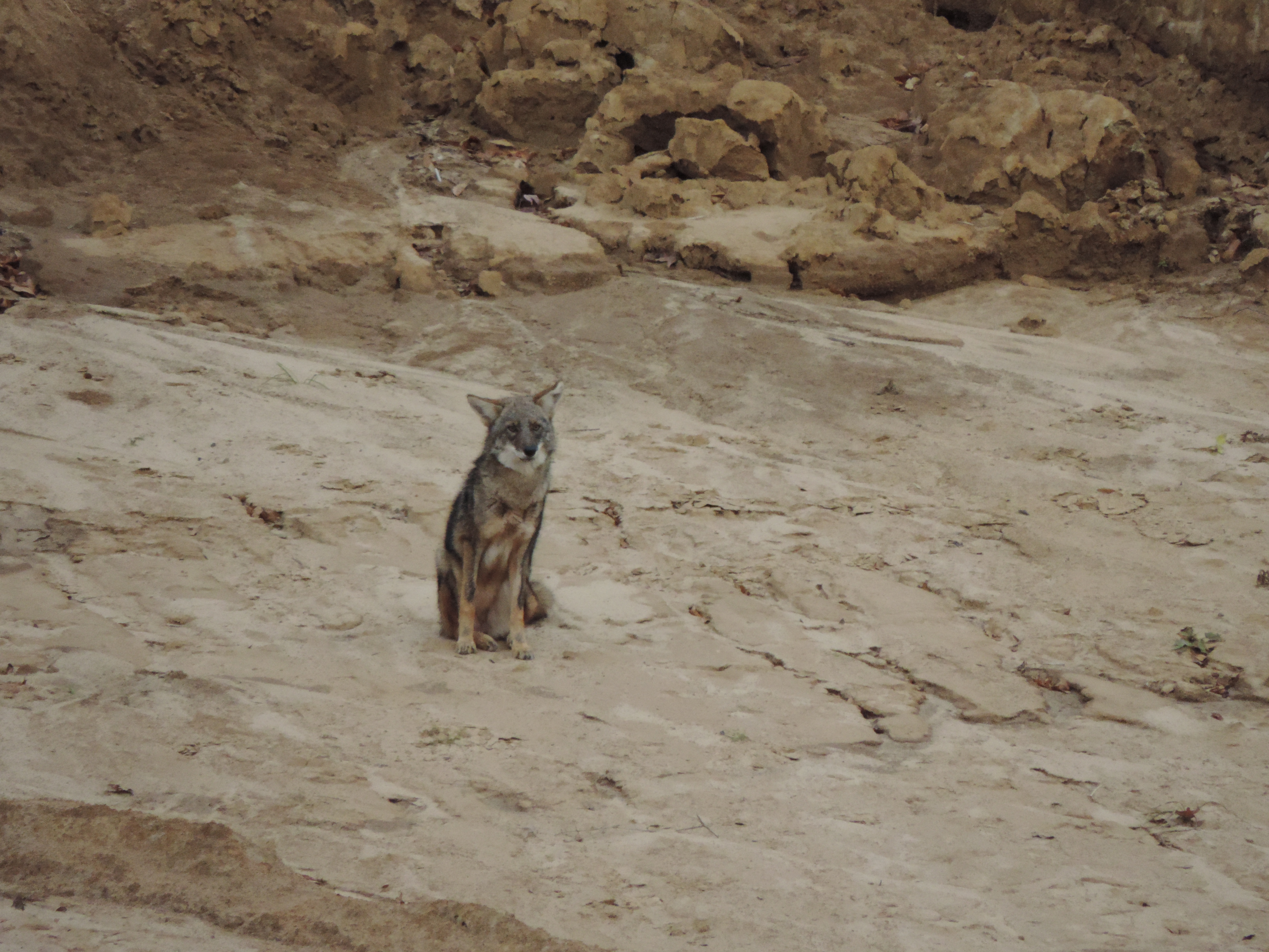
Coyote
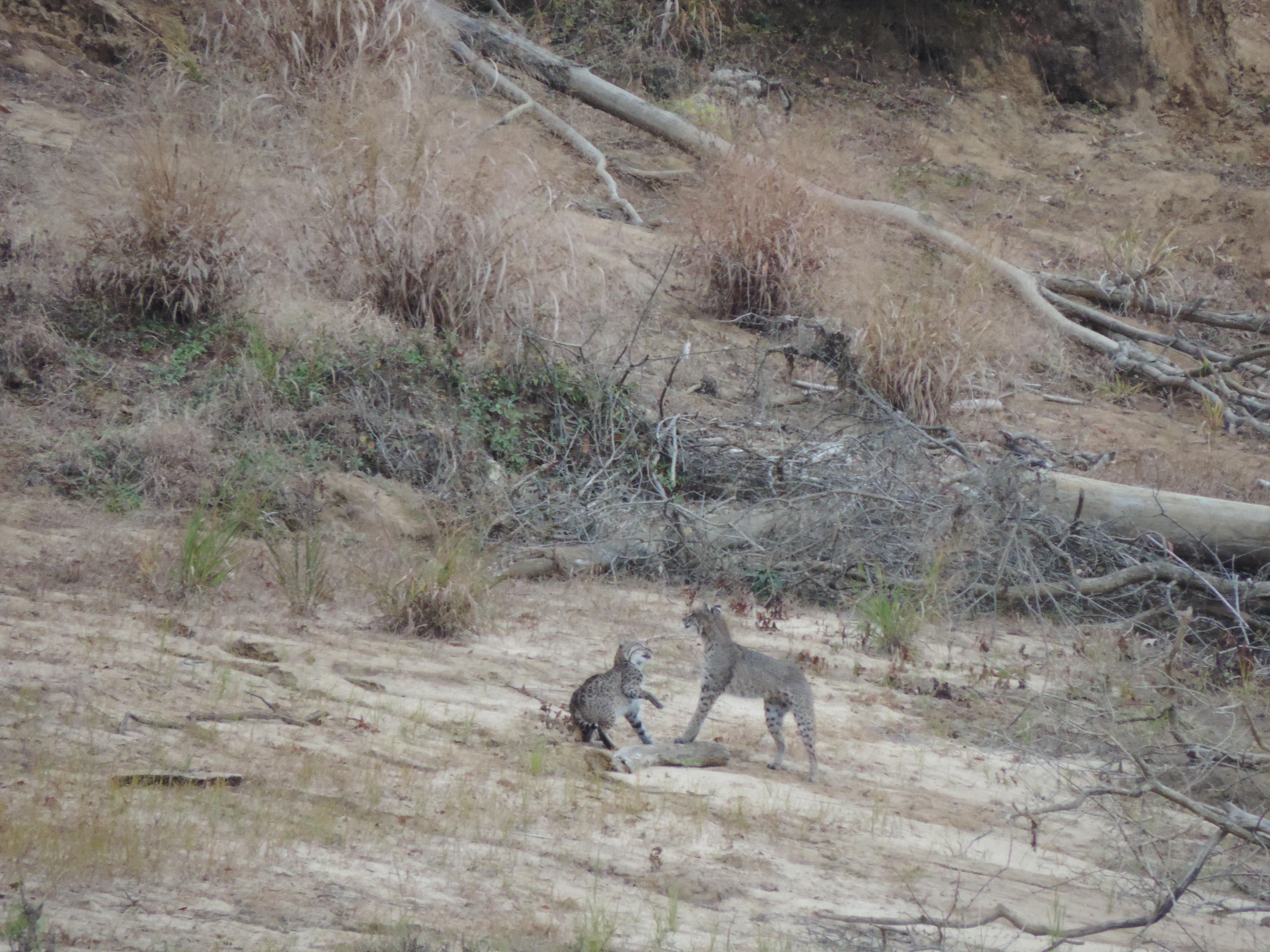
Bobcats (we think)
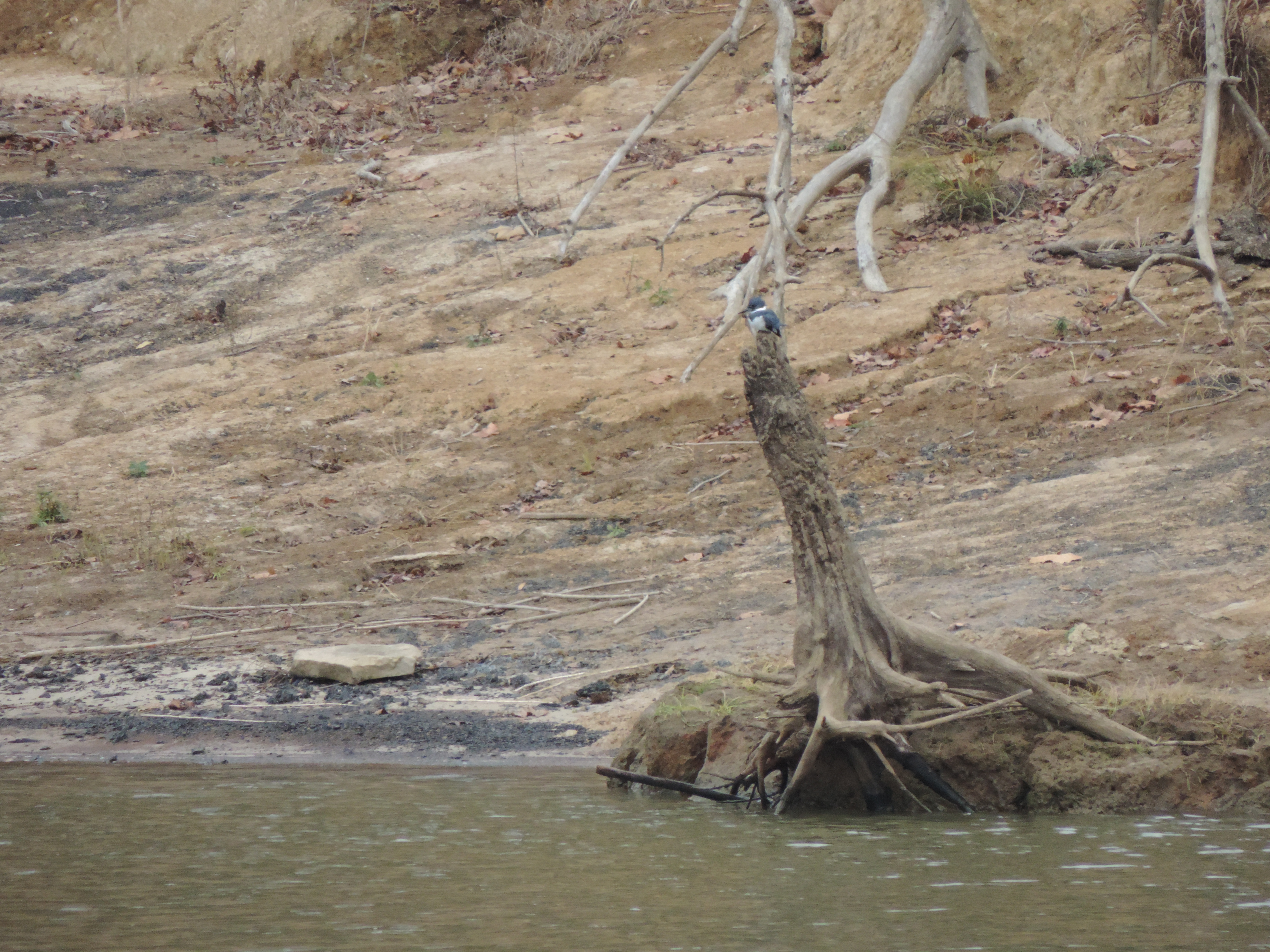
Kingfisher
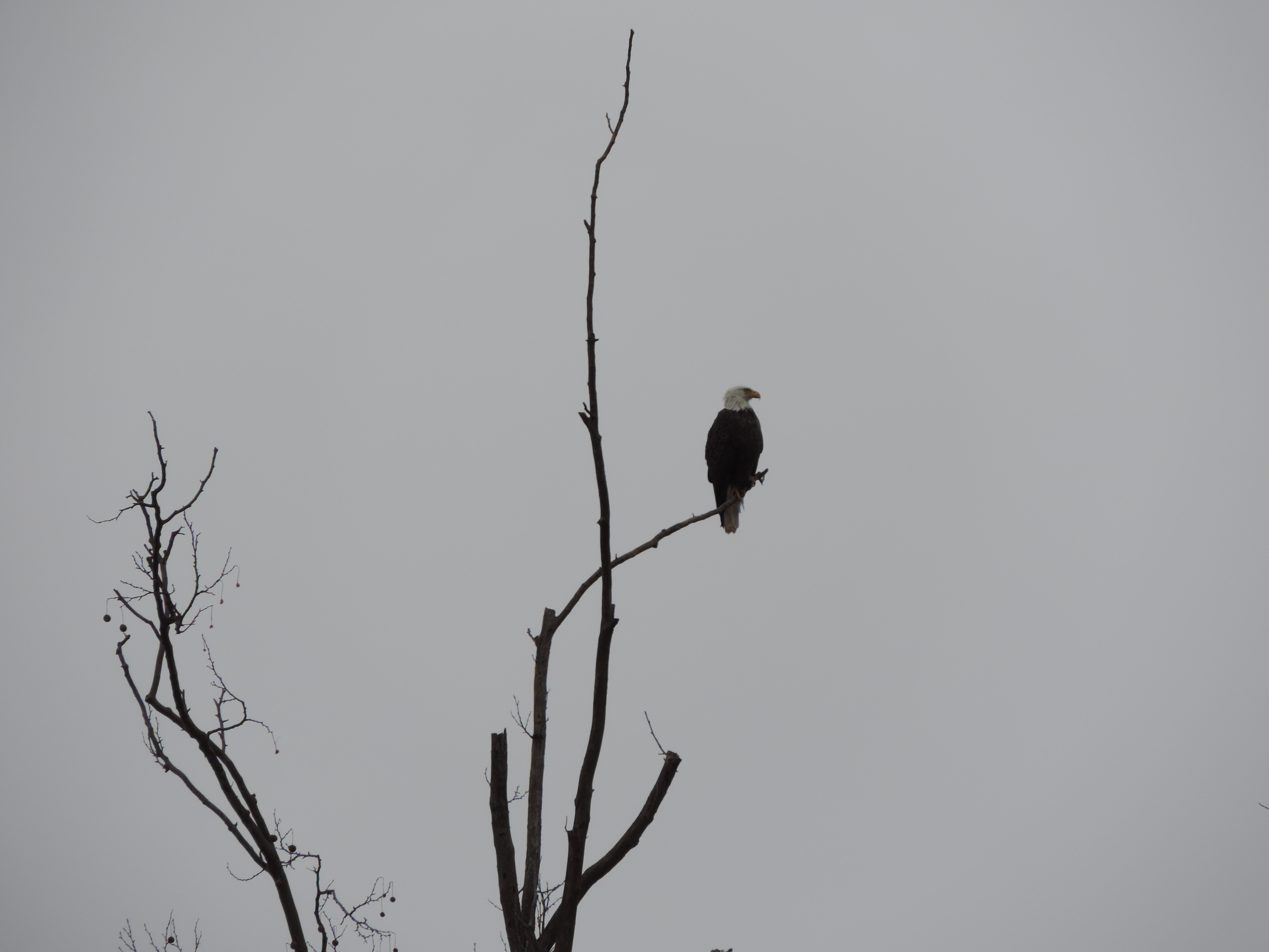
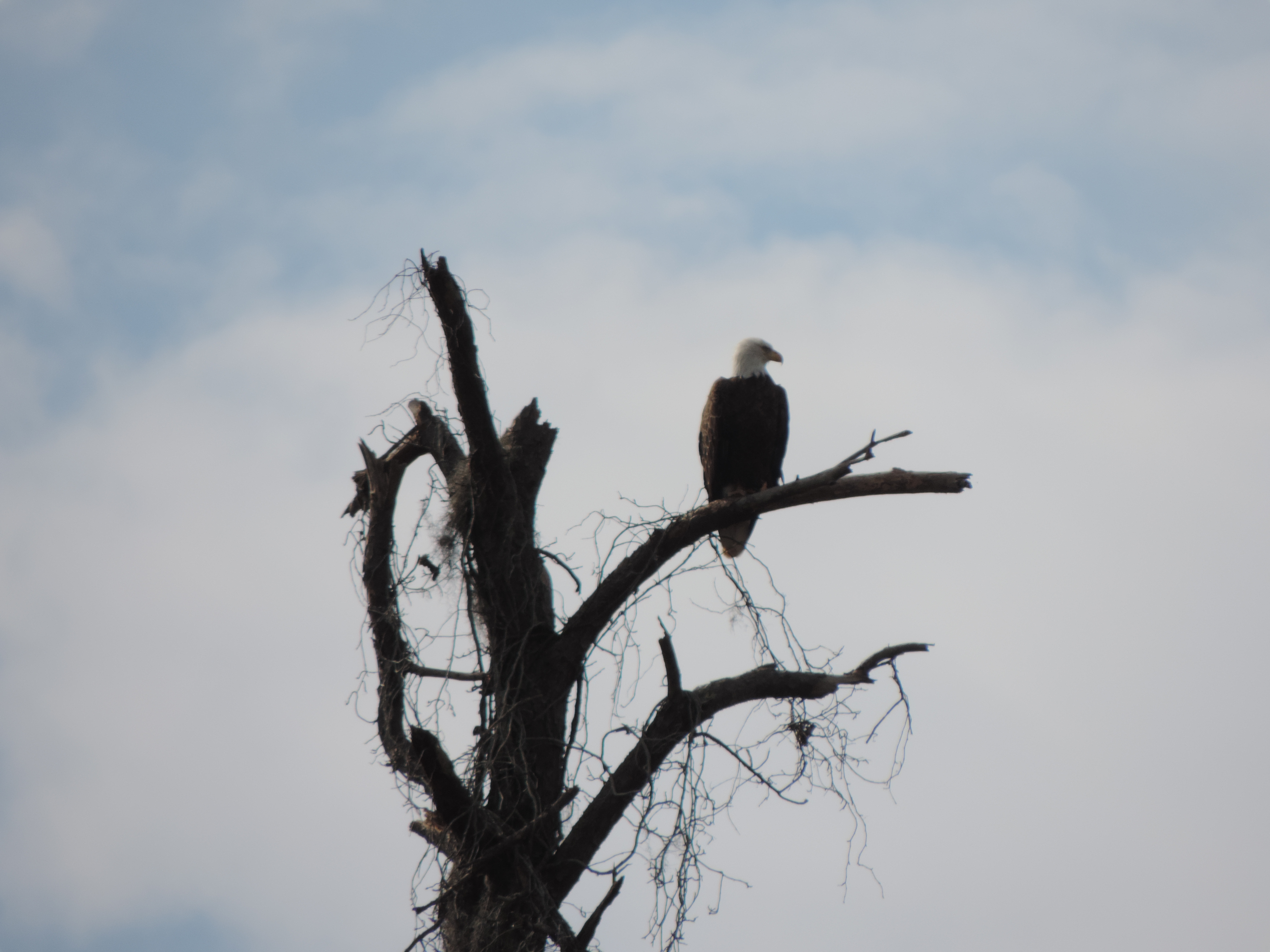
Bald Eagle
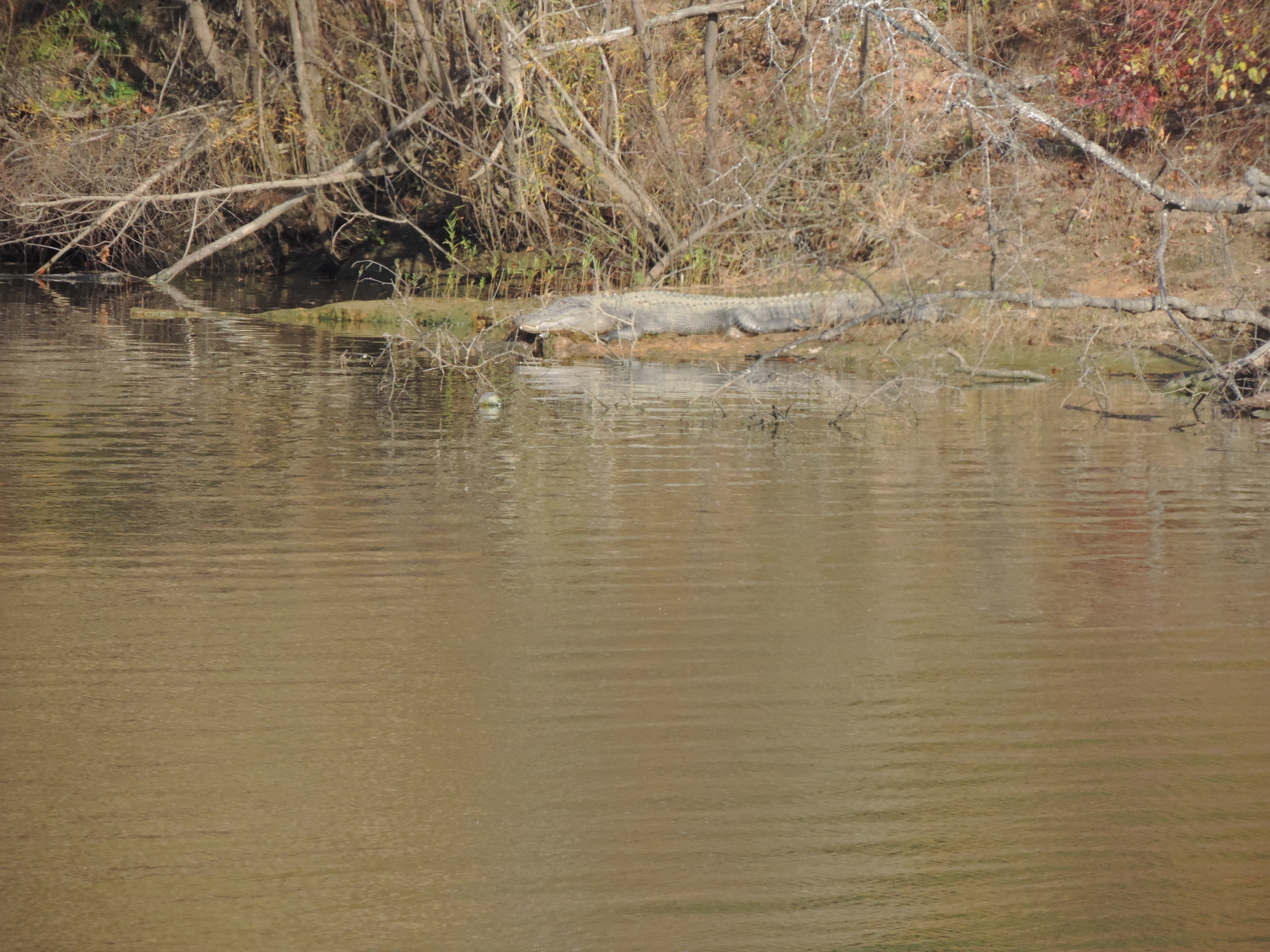
Alligator
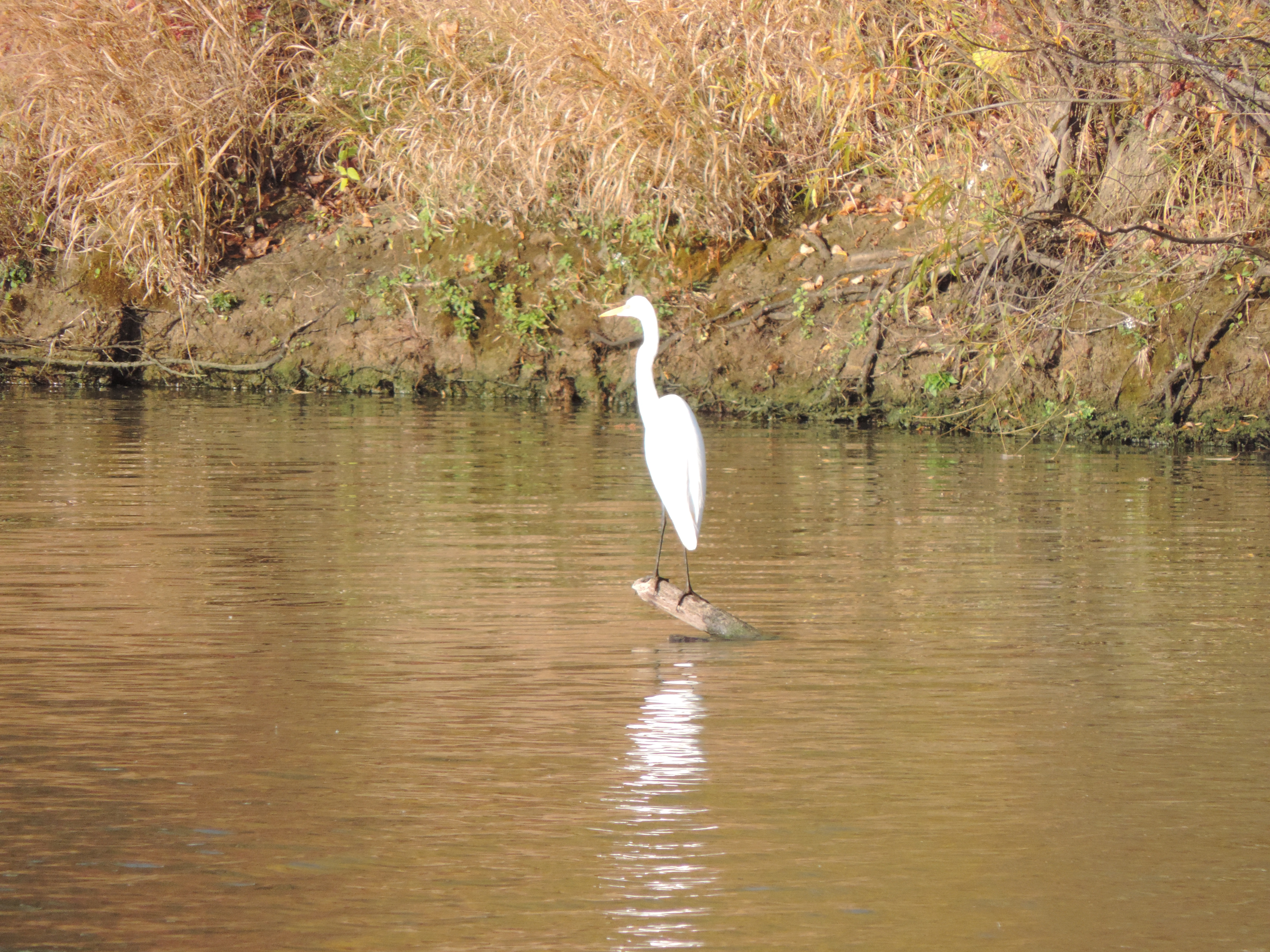
White egret
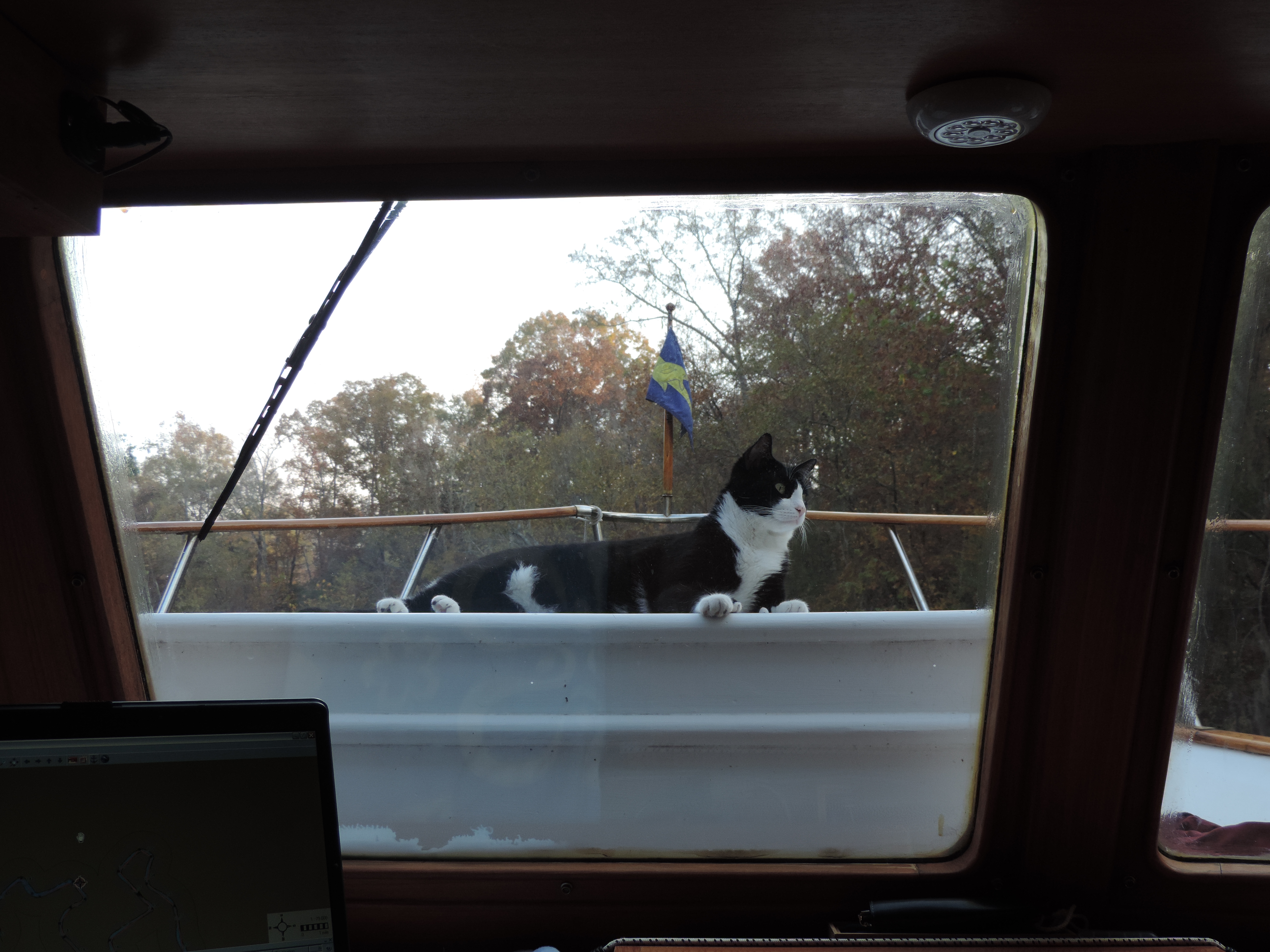
Domestic short hair (Ernie)
We stopped for the night at Bashi Creek, mile 145.0.
Day: 71.2SM/62.0NM – 9H00M Trip: 4131.7NM/4747.6SM – 698H05M
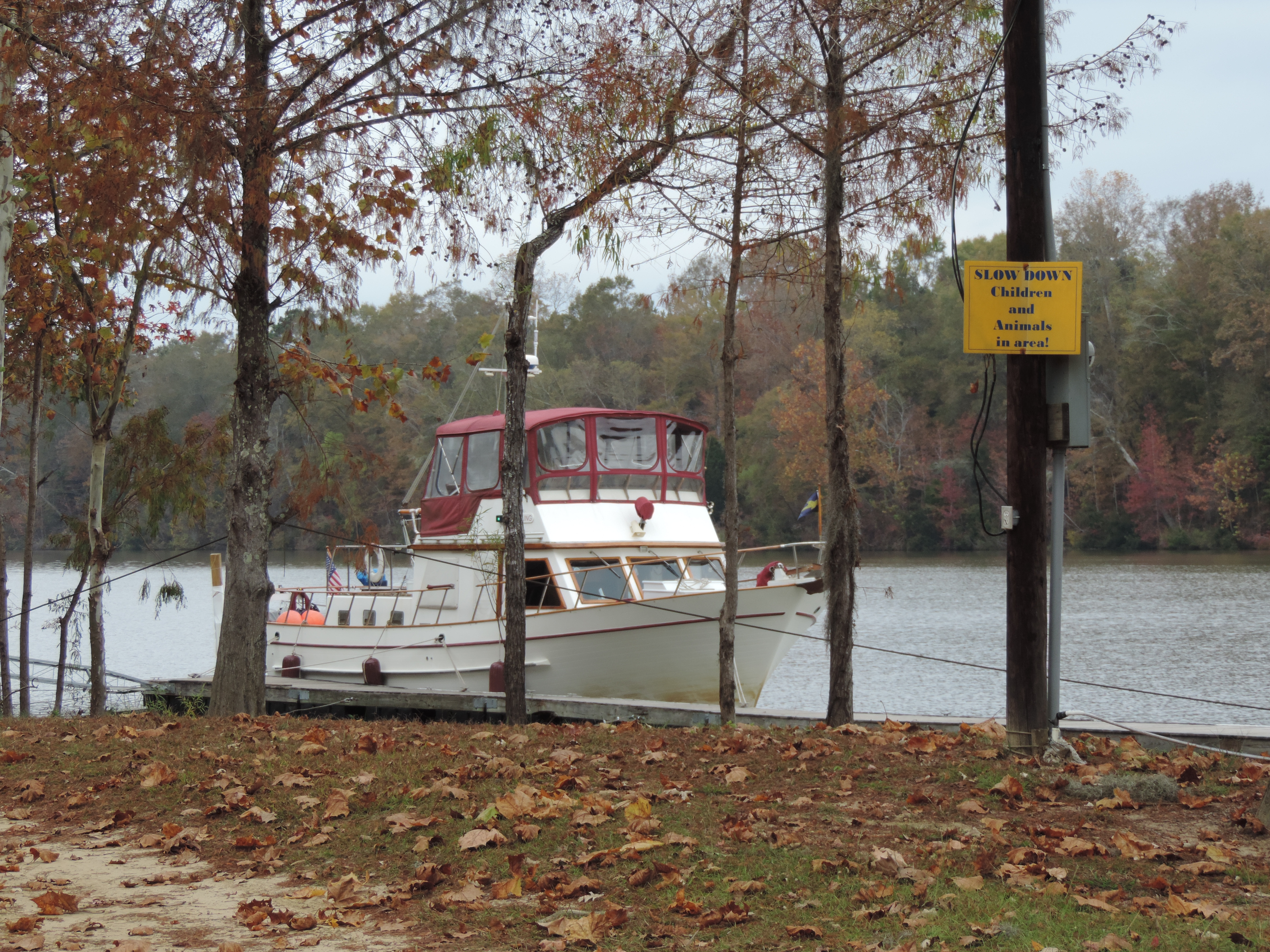
Friday, November 22, 2013 was our special day – our 10th wedding anniversary – so we wanted to stop somewhere that we could celebrate in grand style, and Bobby’s Fish Camp seemed to fit the bill (furthermore, it was the only game in town). So after getting underway from Bashi Creek at 0815 we arrived at Bobby’s about noon.
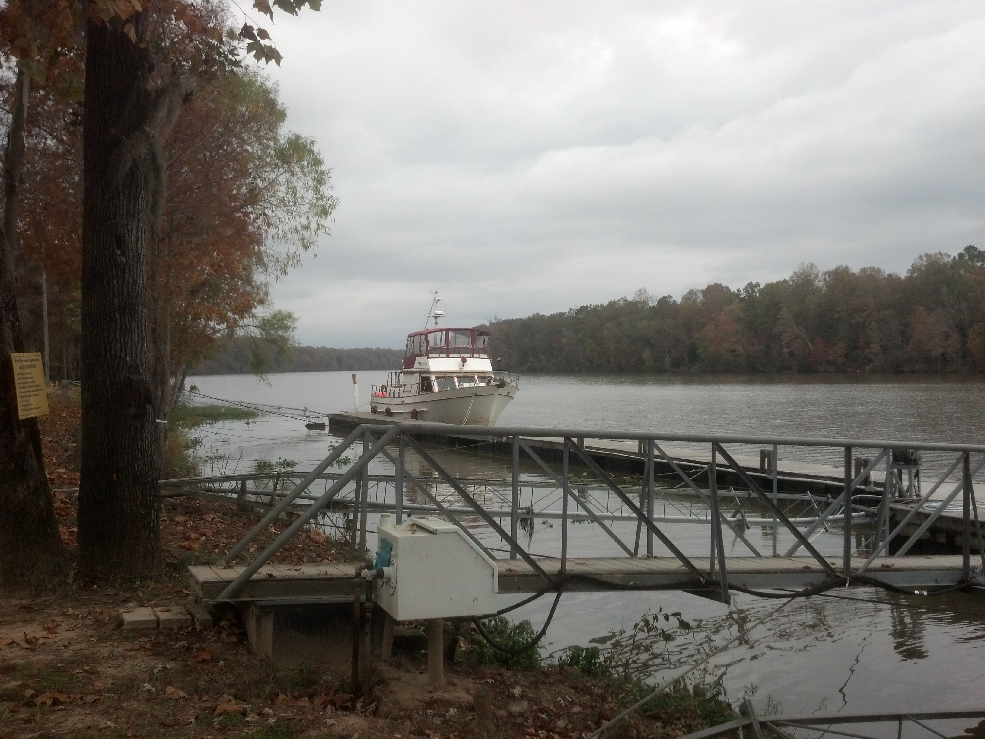
We took the furthest upstream position on the relatively short dock so subsequent arrivals could obtain fuel at the fuel pump, if they wished. Since we arrived so early we had plenty of time to look around and take pictures before getting dressed for our special evening.
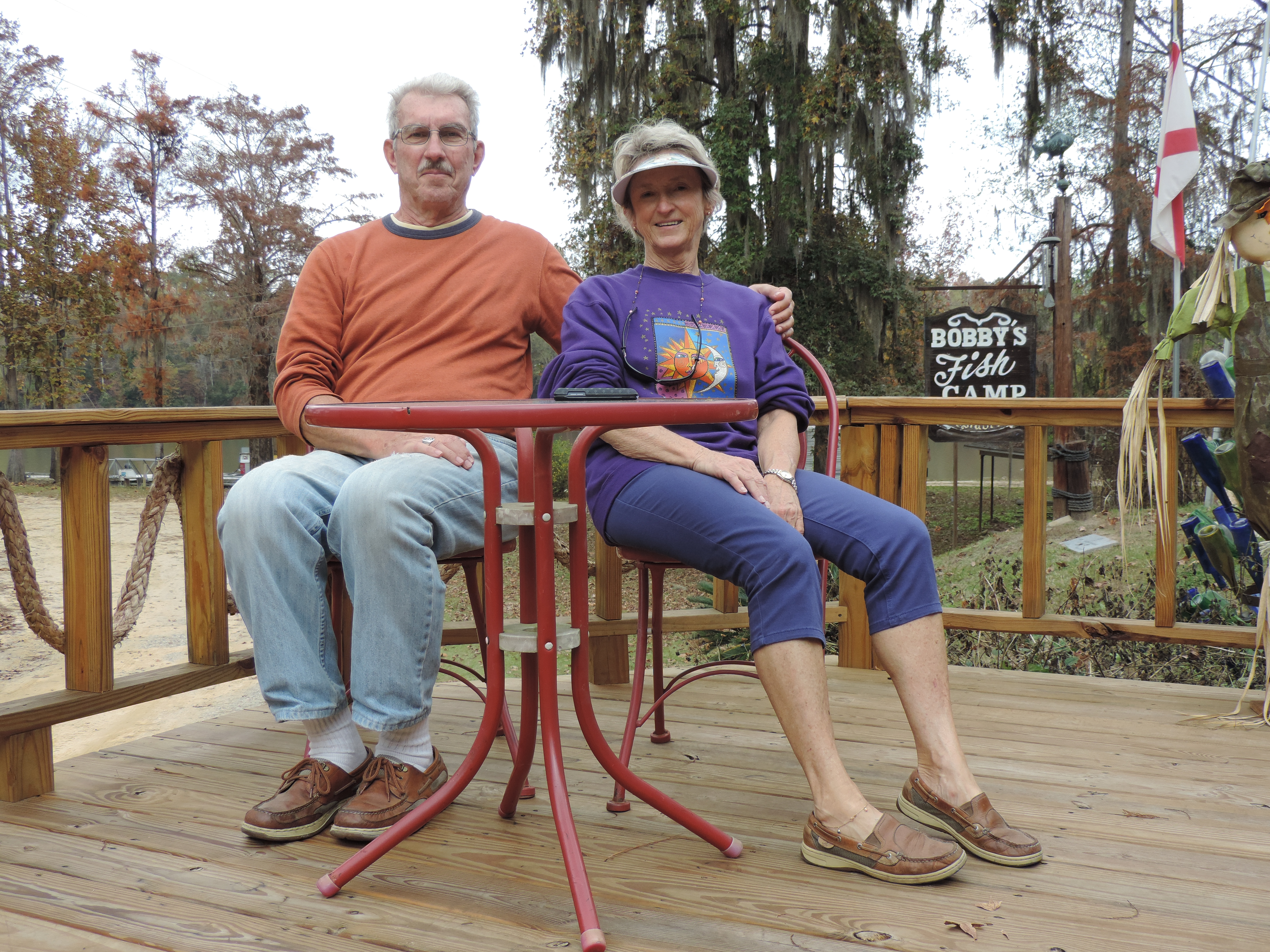
Bob and Judy at Bobby’s Fish Camp
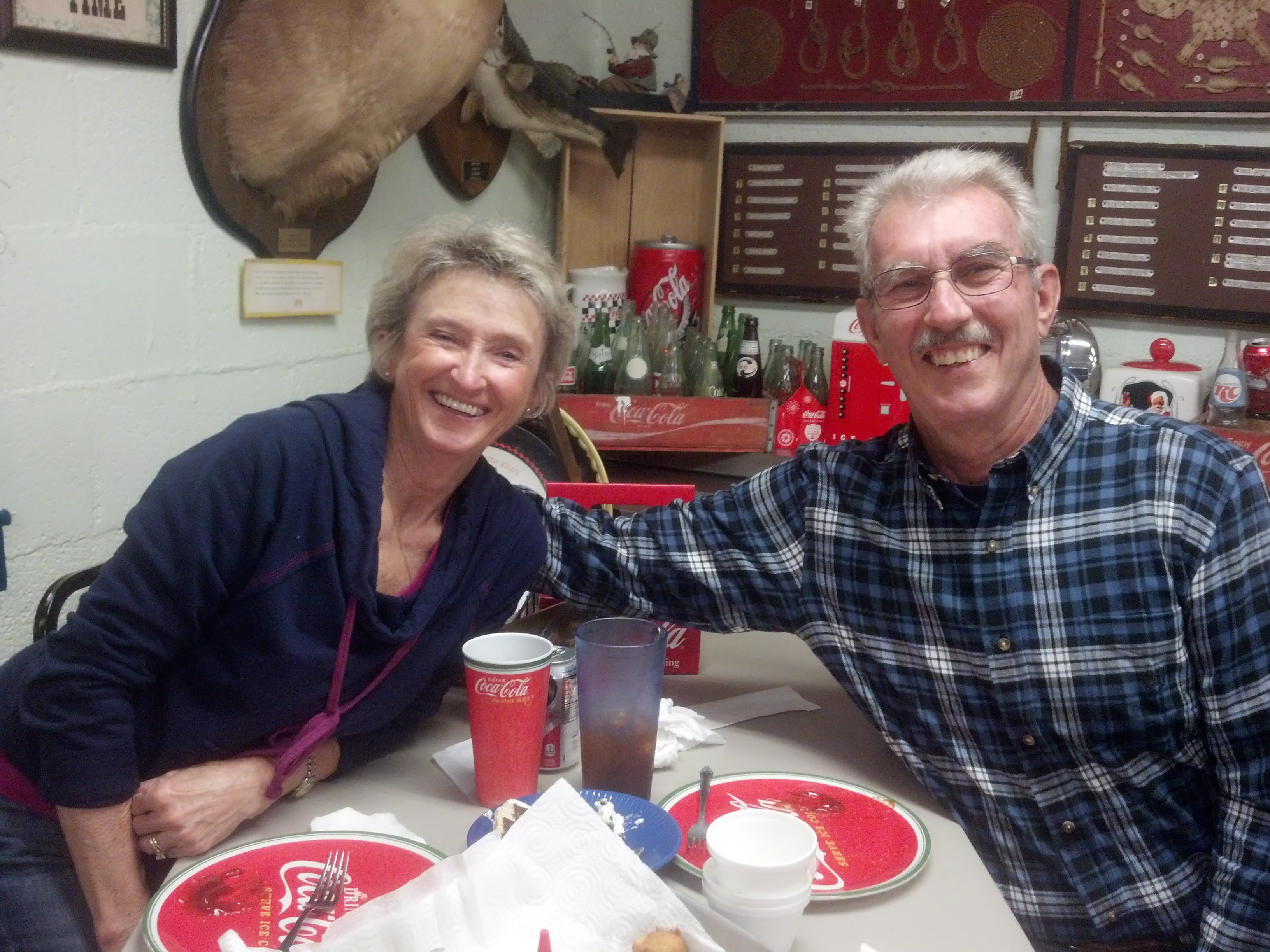
Catfish, hush puppies and french fries in an elegant setting
What a great celebration!
Day: 26.2SM/22.8NM – 3H40M Trip: 4154.5NM/4778.8SM – 701H45M
On Saturday, 23 November, we got an early start so we could get to our anchorage of choice before sunset. We were off the dock at 0620 and through our last lock, Coffeeville Lock, by 0705 and on our way. We wound our way through numerous horseshoe bends (I’d classify them as omega-bends) traveling 4-5 river miles in order to make 1 or 2 miles to the good toward the south. The AIS came in extremely handy in identifying tows before we could see them.
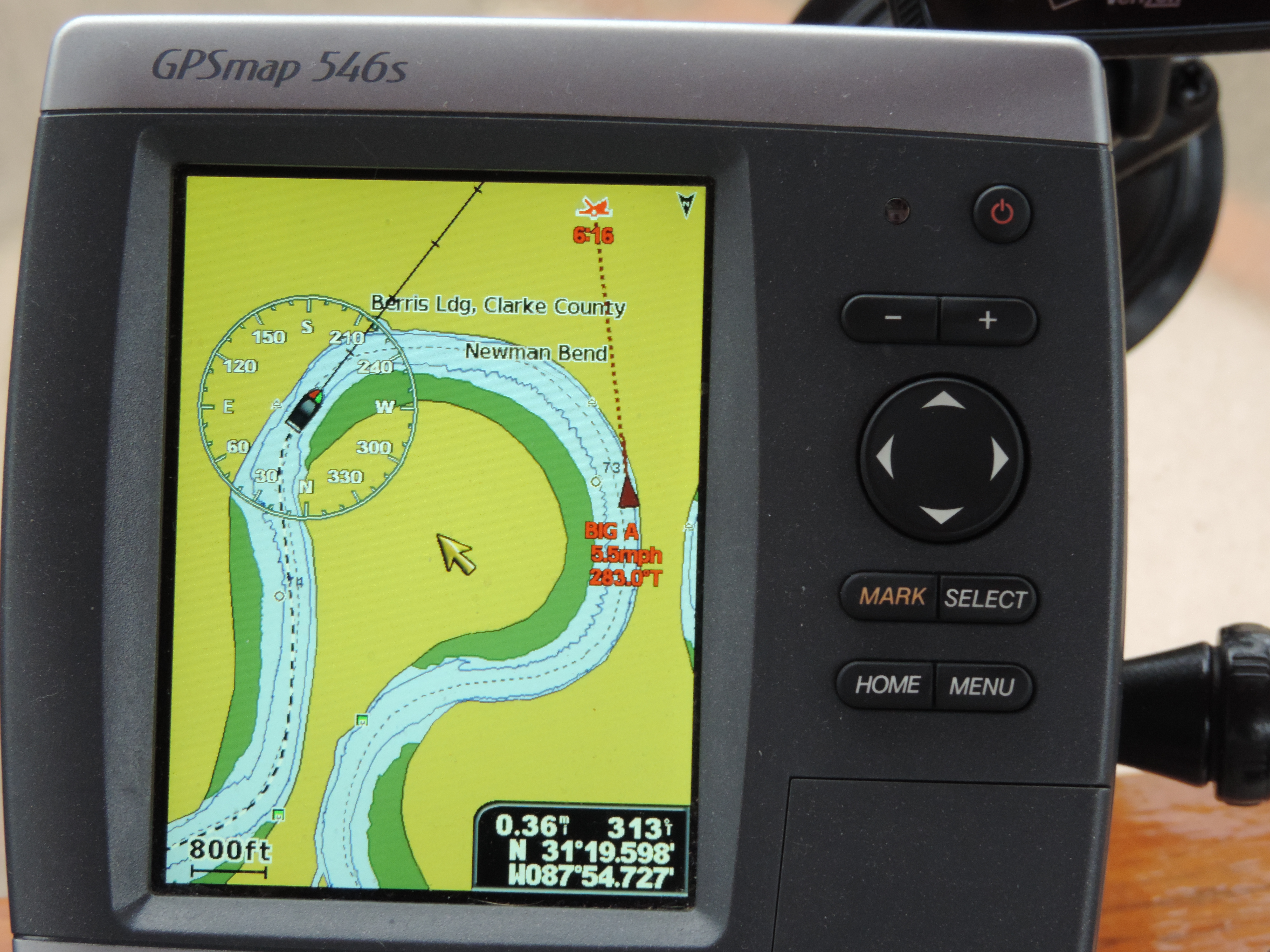
Here’s how an approaching tow appears on our chart plotter displaying information received from the connected AIS. An audible alarm also sounds when the other vessel is within a certain distance, but because of the numerous omega bends the alarm sounded frequently when the tow was two bends ahead of us but pointing in our direction. We eventually shut off the audible alarm and relied on the visual display to keep us appraised of approaching tows.
By 1500 we had entered the Alabama Rive Cut-Off where we found the water depth to be at least 12 feet all the way to where we anchored about 1/2 mile in from the river. Because the cut-off was narrow, we used a stern anchor to keep the stern from swinging us cross-stream. There was also a slight current which helped keep Sanderling aligned with the stream’s banks.
Day: 69,0SM/60.0NM – 8H45M Trip: 4214.6NM/4842.8SM – 710H30M
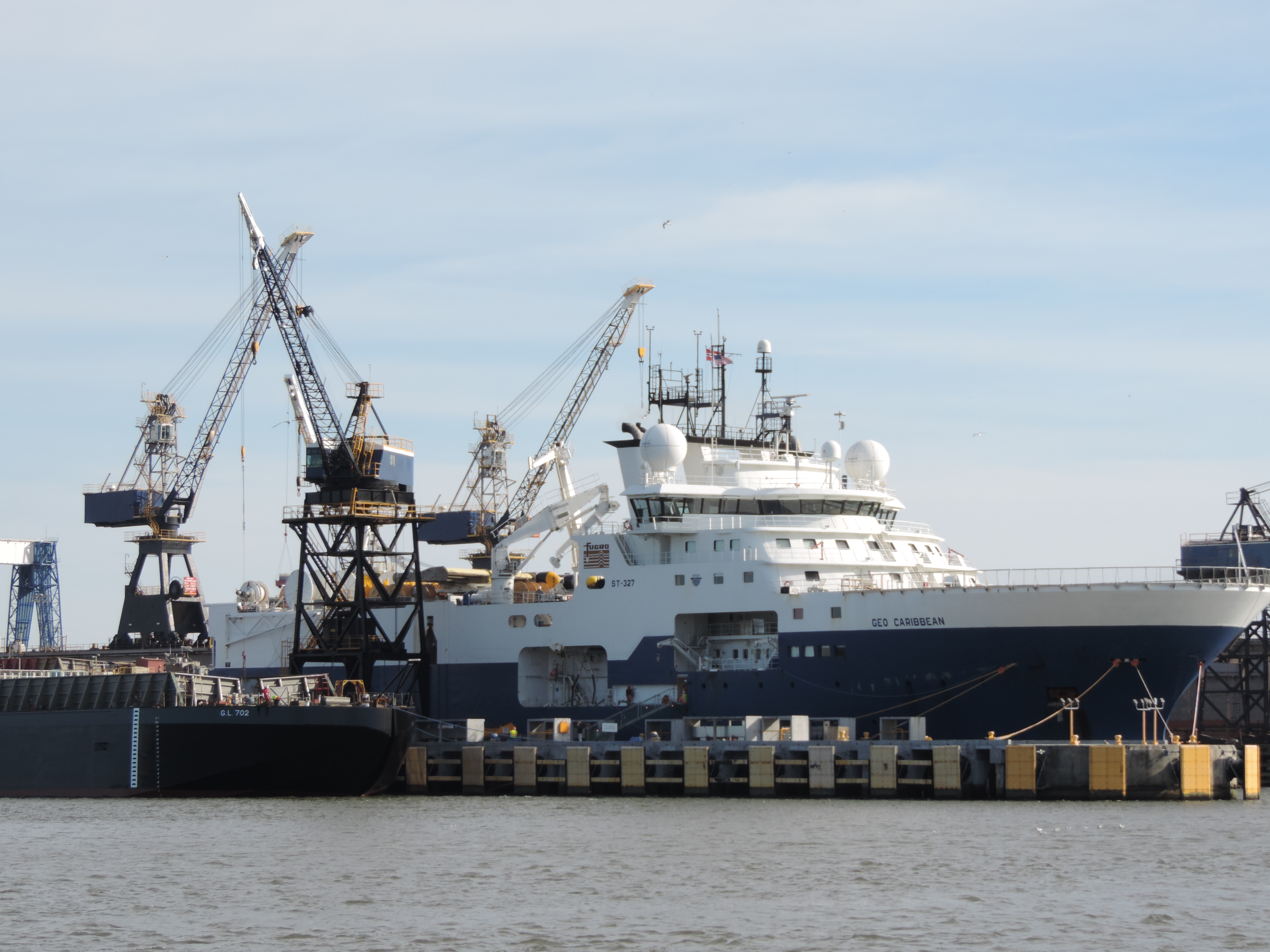
Sunday, November 24th was clear and sunny and a balmy 41F. We were up and away at 0750 anticipating that we would get to Mobile, Alabama, and the 6 miles down the Mobile Bay as the wind was laying down and before sunset. We entered the Mobile River (the junction of the Alabama River and the Black Warrior River) and shortly were passing through the extremely busy port of Mobile. There were tows, tugs, barges and ships everywhere, some stationary and others moving their cargoes. We were constantly watching the water ahead of us and the chart plotter, determine which boats we needed to watch out for and which ones were not going to be a problem.
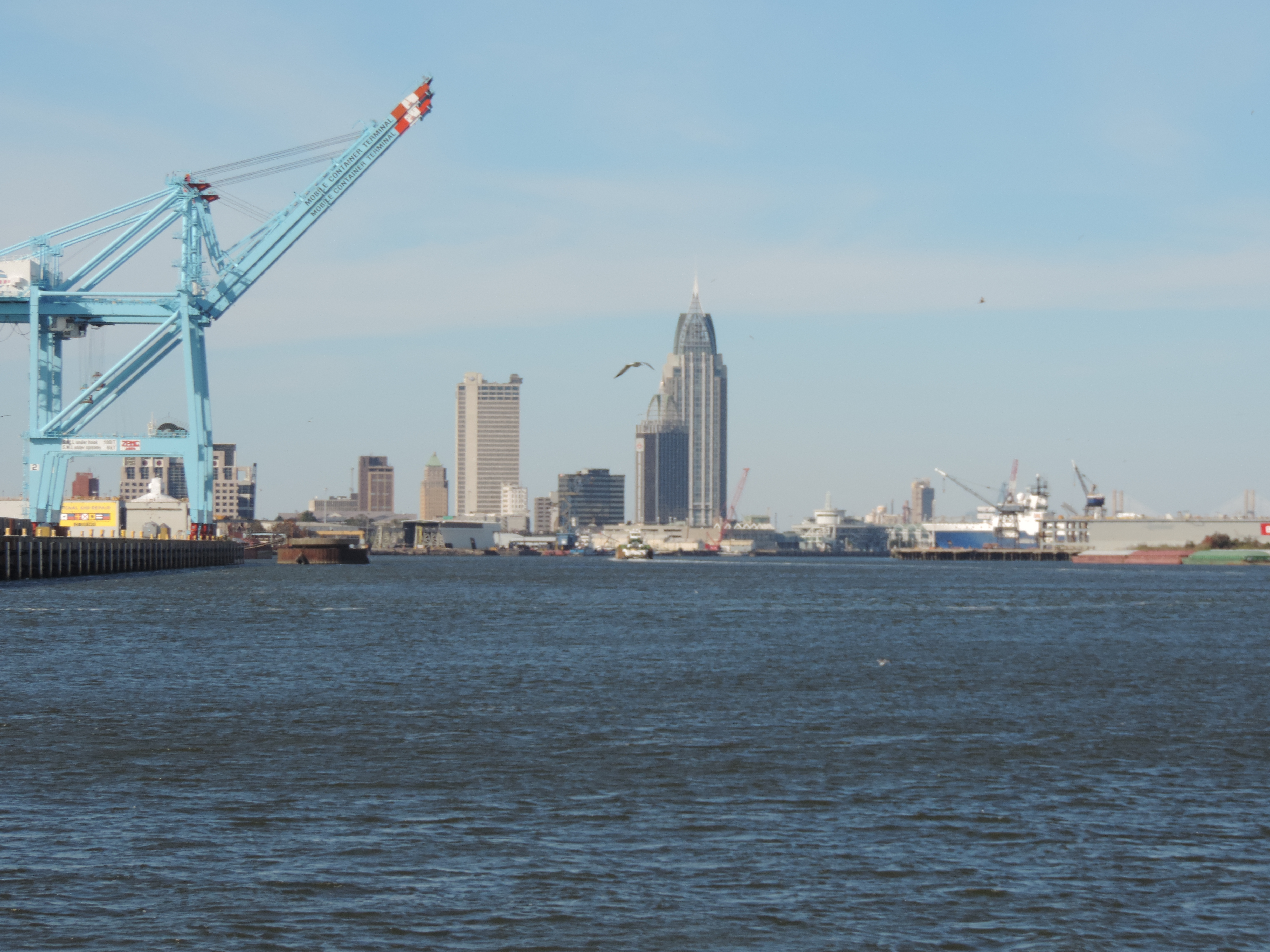
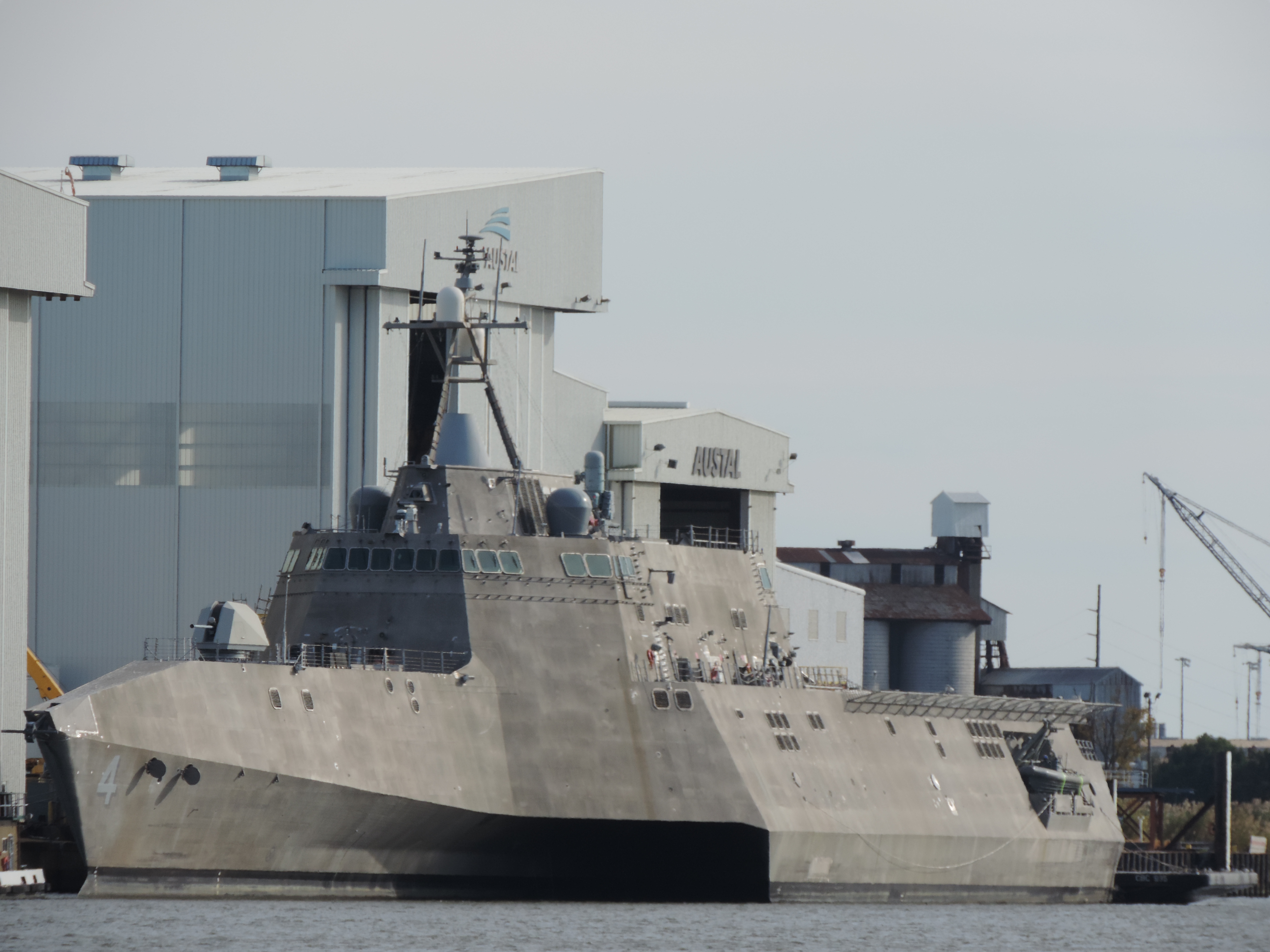
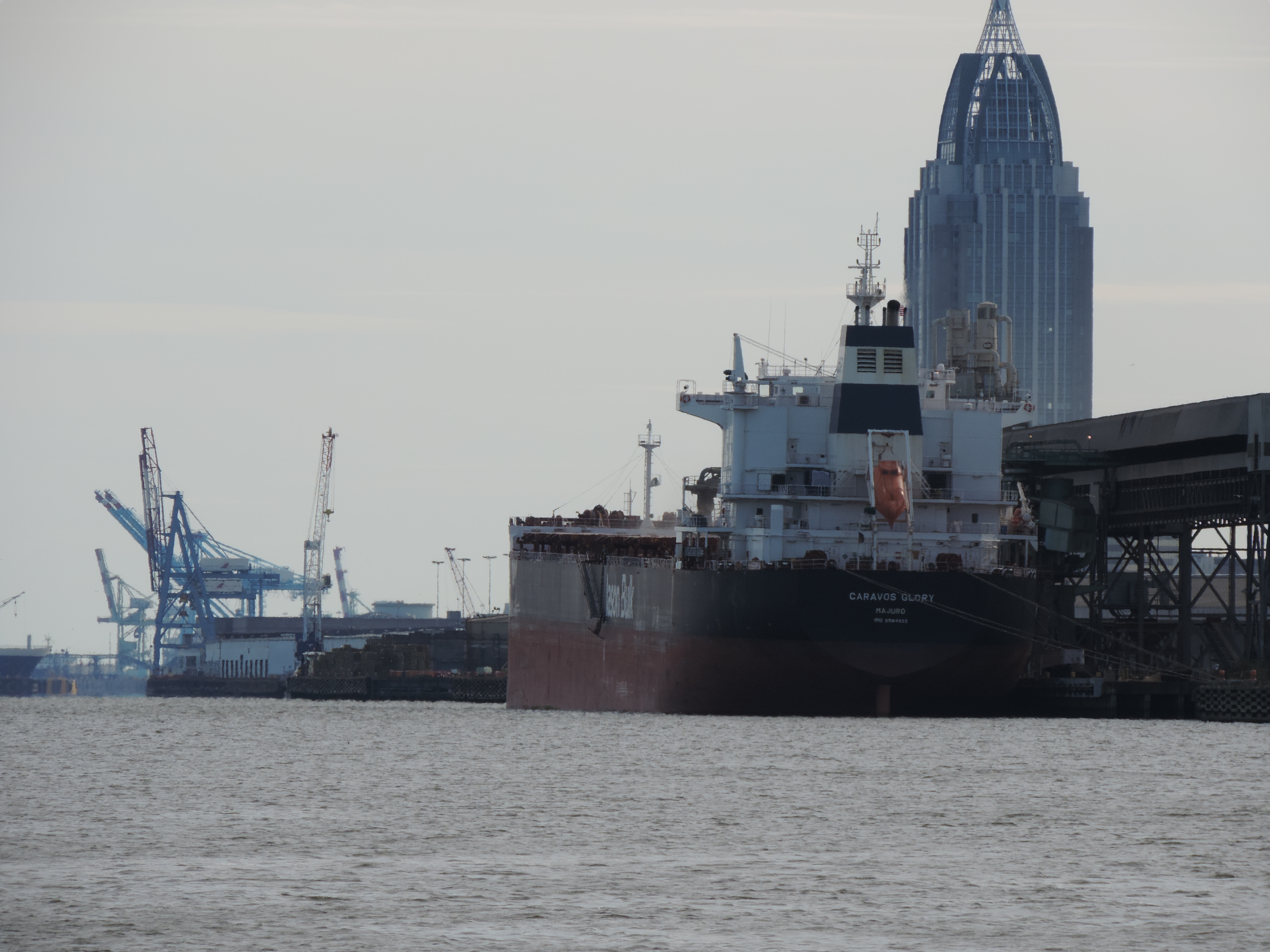
After we departed the Mobile River we entered the expansive Mobile Bay. The water got noticeably rougher from the northerly wind and the tide rushing upriver, and we were in the ship channel which heads south and into the Gulf of Mexico. We tied to the fuel dock at Dog River Marine on the west side of Mobile Bay at 1620, took on 194 gallons of diesel fuel and pumped out the port-side holding tank, then at 1700 moved to the transient dock where the two boats that we had met at Aberdeen Marina were located.
Day: 68.9SM/ NM – 6H30M Trip:
Although we had originally considered getting across Mobile Bay and into the Alabama Canal on Monday morning before the wind picked up (according to the forecast) we changed our minds on Monday morning and decided to stay and wait out the forecasted high winds and cold temperatures at a cozy marina with dockside electricity and a courtesy van which we could use to go to restaurants and shopping.
Here we still sit on Wednesday. We’re hoping the Bay is calm enough by mid-morning tomorrow (Thanksgiving Day) that we can get across without too much trouble and into the Alabama Canal heading east to Carrabelle and hopefully warmer weather. The front has just about passed, and the bay forecast for tomorrow looks promising with winds of only 10-15 MPH and wave height at 1 foot (rather than 2 feet today). We’ll see!
Written November 17, 2013
We departed Florence, Alabama, on November 14th, which just happened to be Judy’s birthday! Before departing the marina we moved to the pumpout dock and pumped out our forward holding tank (Ava, the marina owner, had left the cabinet unlocked so we could get to the necessary equipment early in the morning). As much as we hated to leave this nice area (the marina and the surrounding towns) we needed to get heading south to warmer weather. We finished pumping out the holding tank and were underway at 0820.
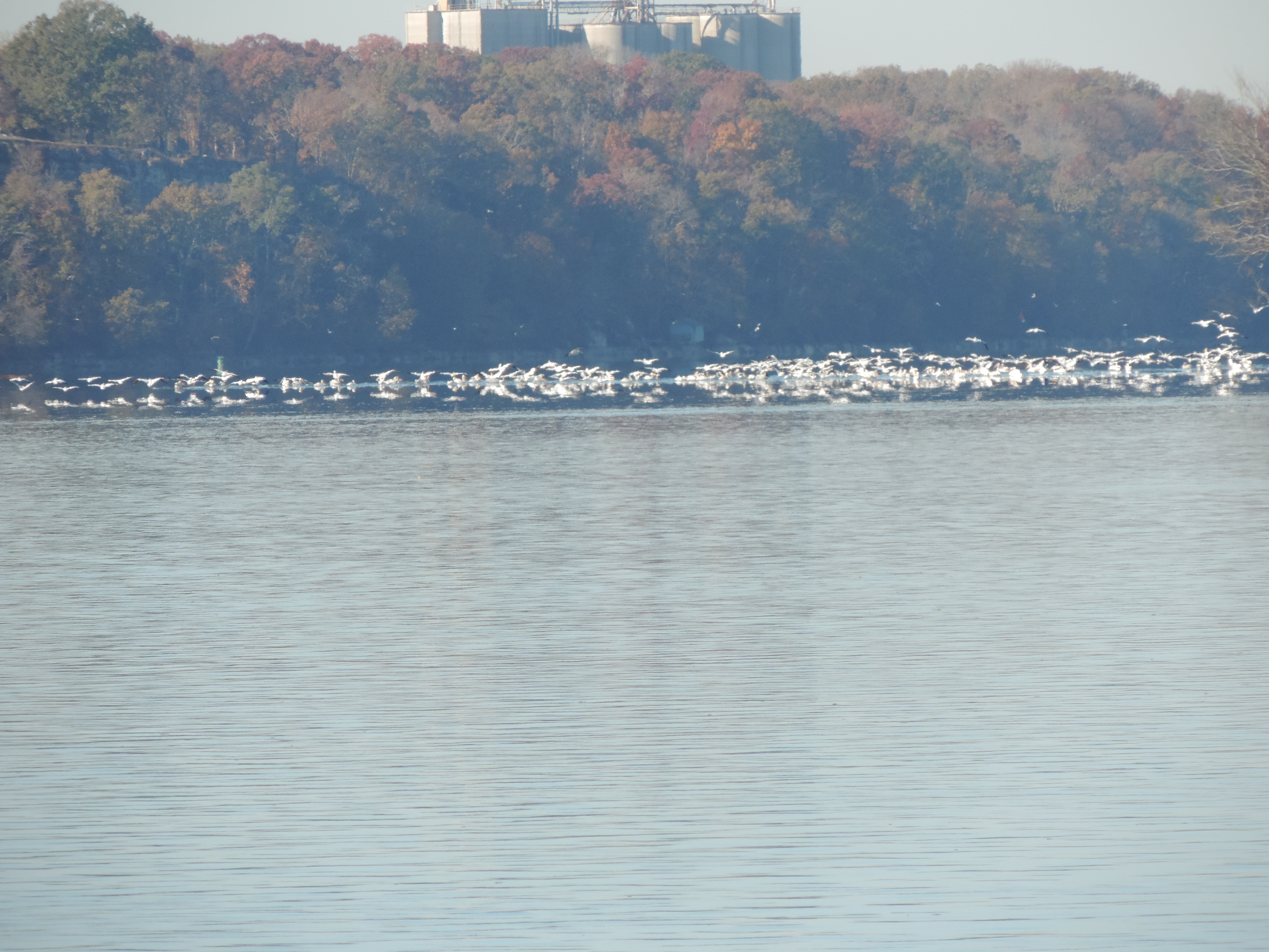
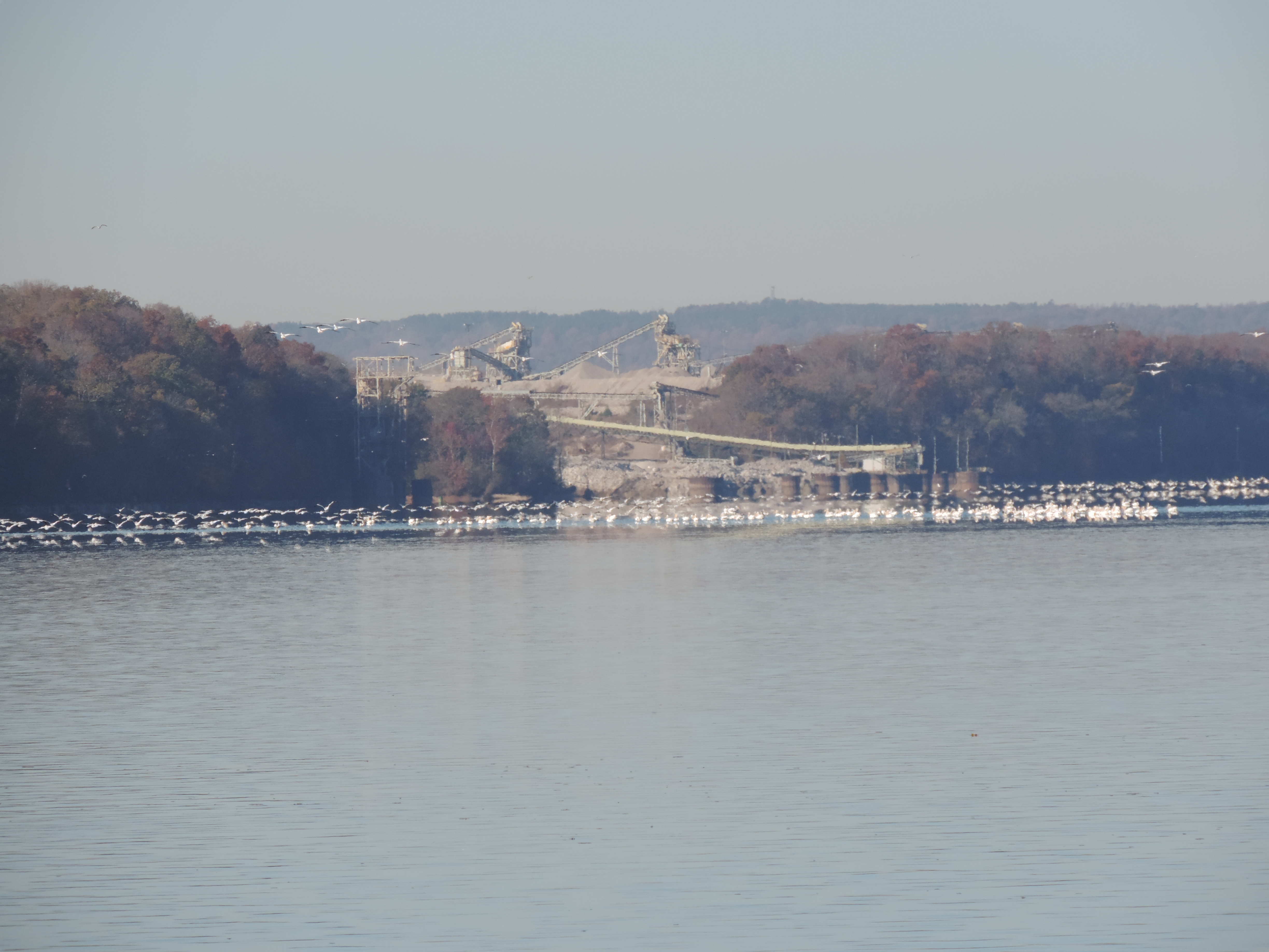
White pelicans on the Tennessee River
It wasn’t much later on our way down the Tennessee River that we encountered huge flocks of white pelicans, much larger numbers than anything we’d seen before. The water and when they took flight, the sky, was literally white.
White pelicans on the Tennessee River
The birds seemed to be everywhere in the area of the nature preserve at Seven Mile Island (actually a string of islands partially submerged). Small numbers were exhibiting the unique fishing behavior we’d read about and observed before, even when they were in large groups like this.
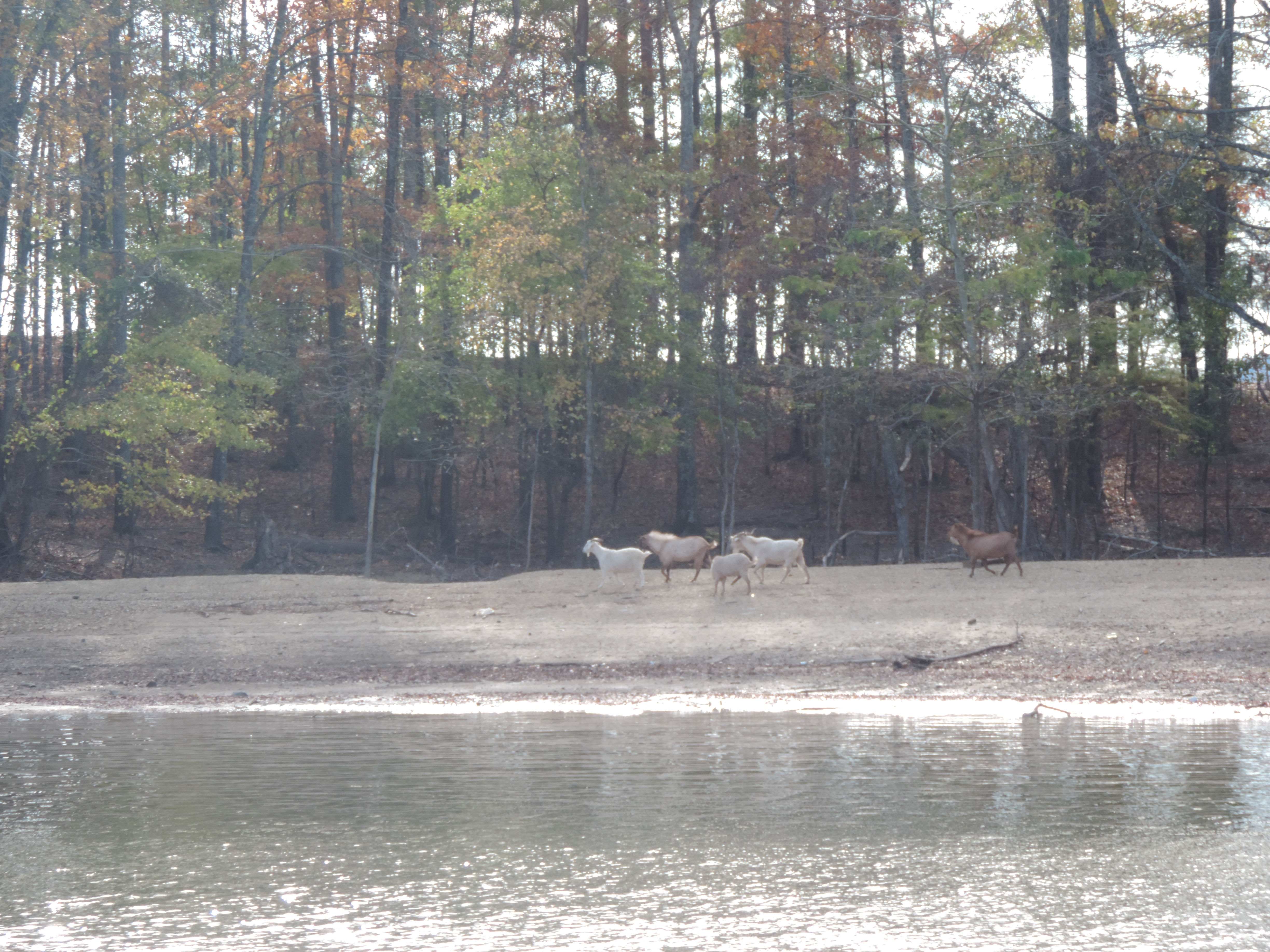
Goats on goat island
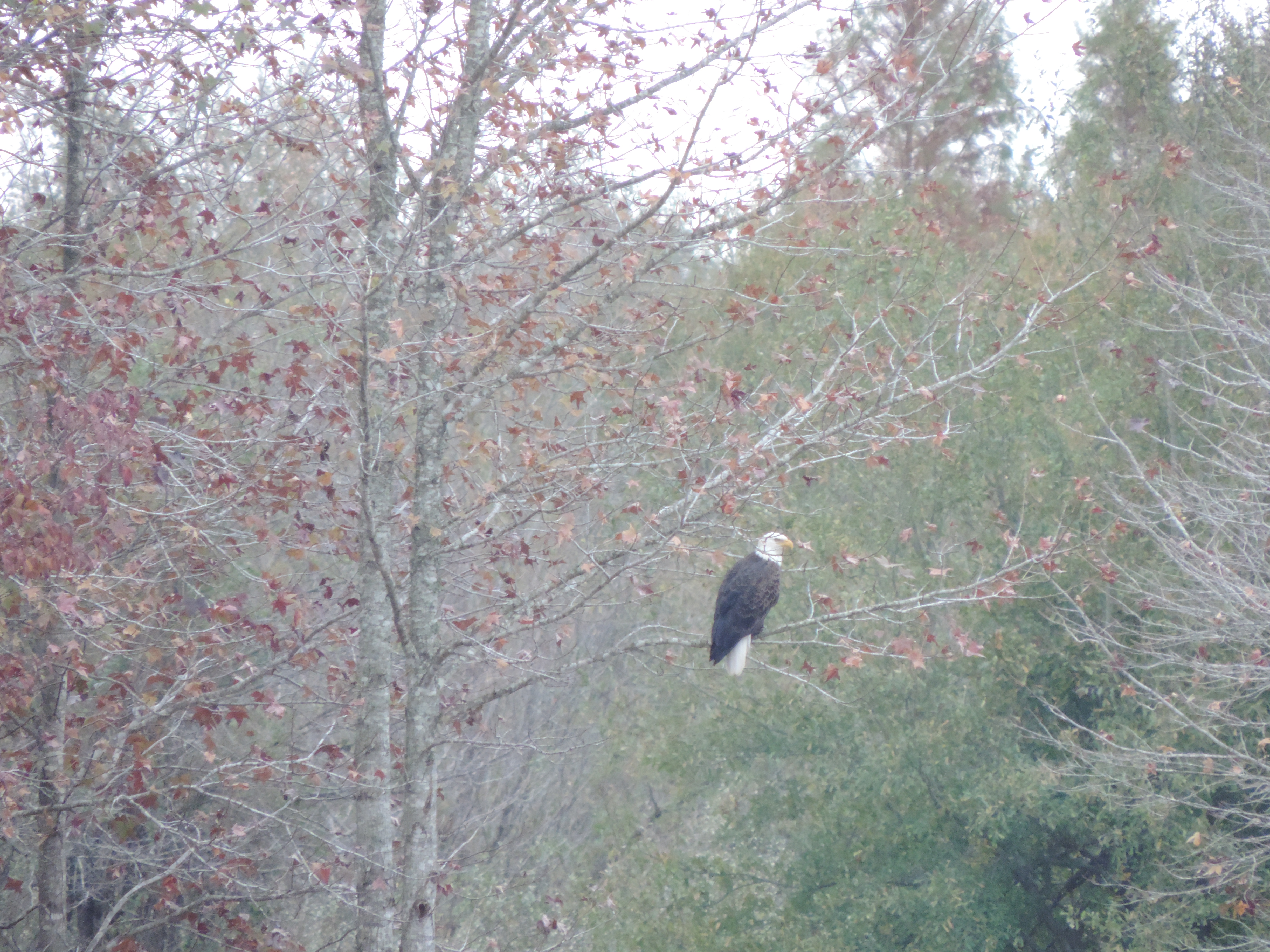
Eagle on the Tenn-Tom
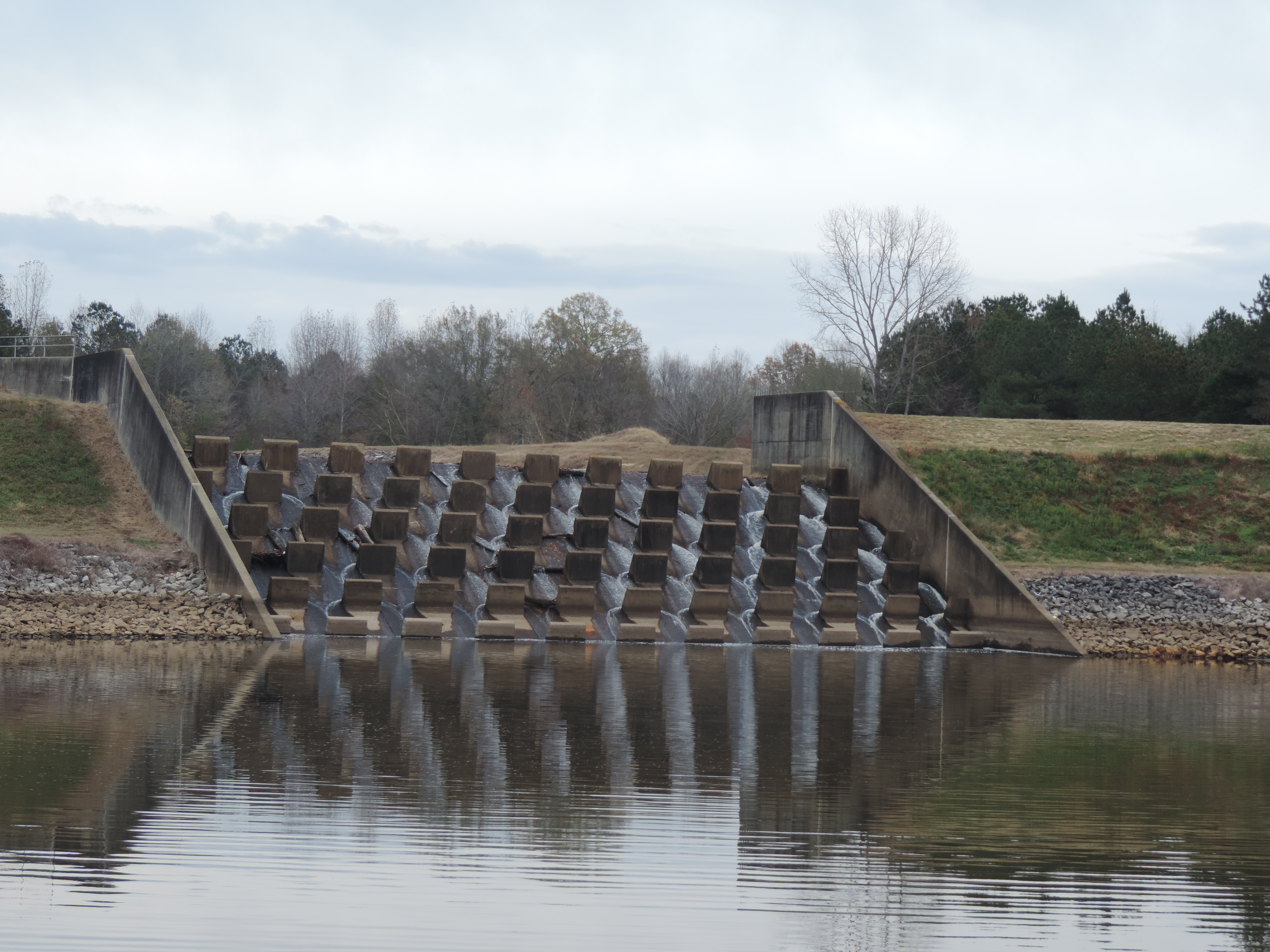
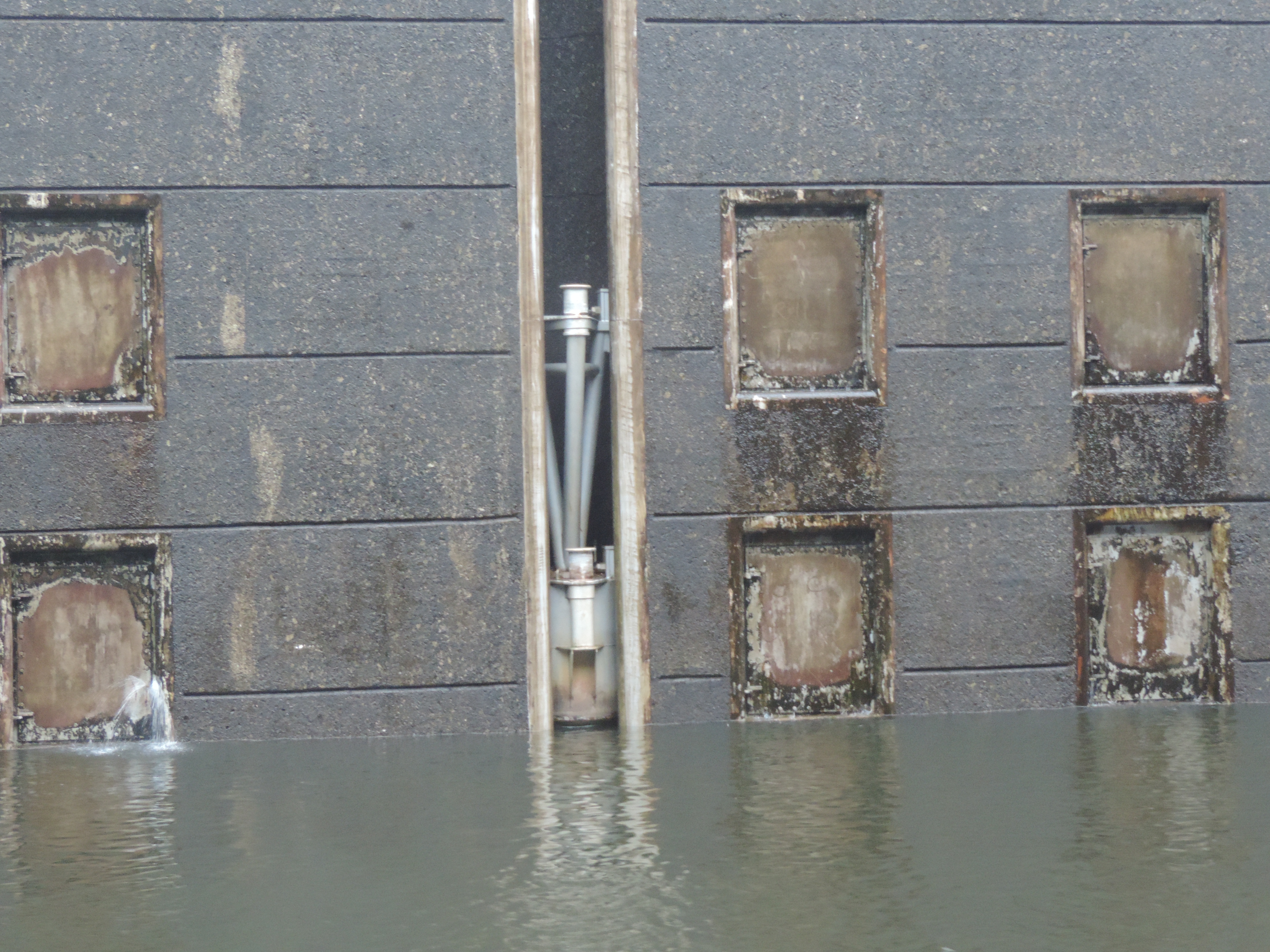
Baffled spillway from creek into the Tenn-Tom
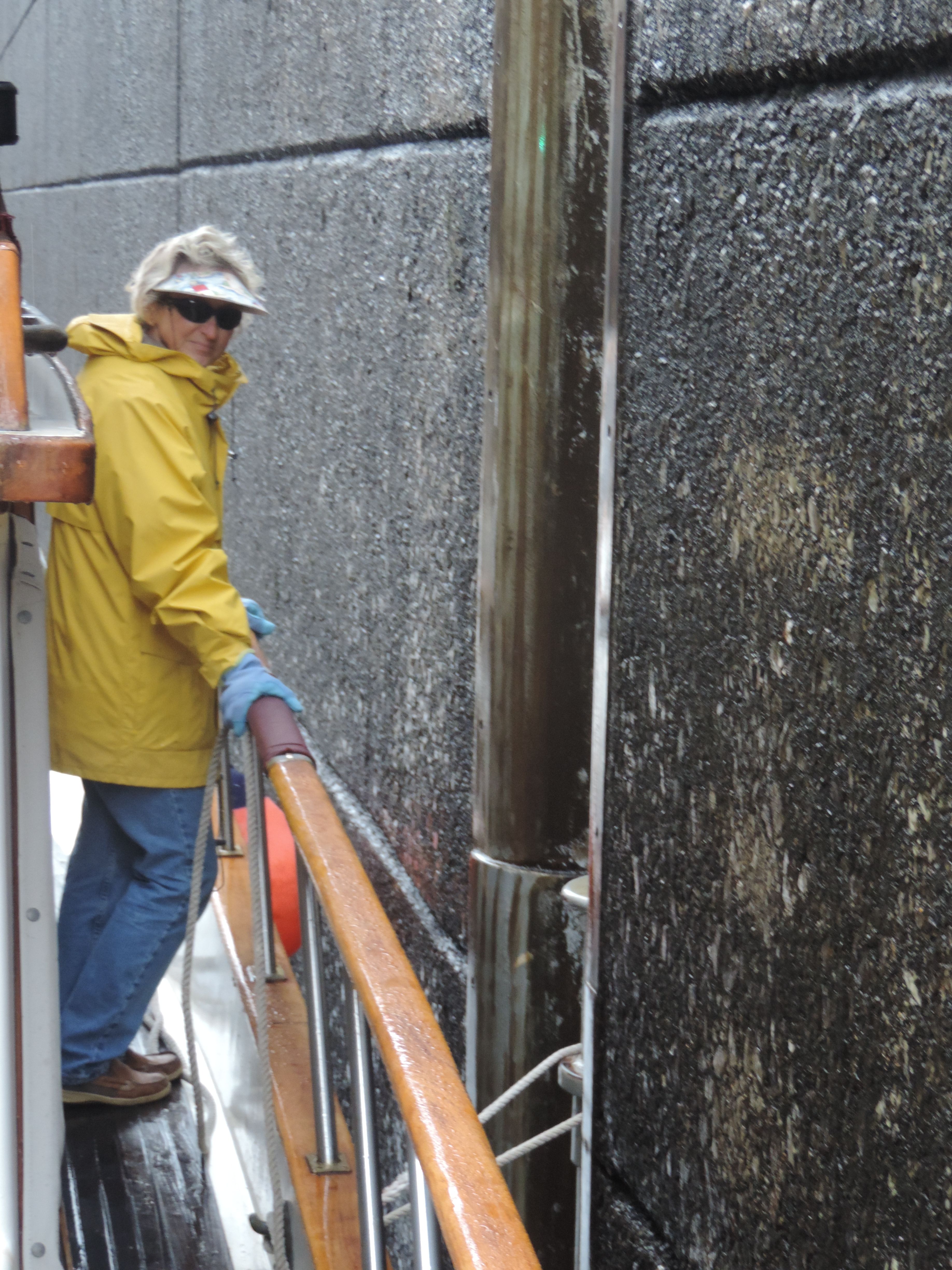
Judy tending the line attached to a floating bollard in one of the locks
One of the floating bollards with pins for taking lines for two different heights

A different type of floating bollard
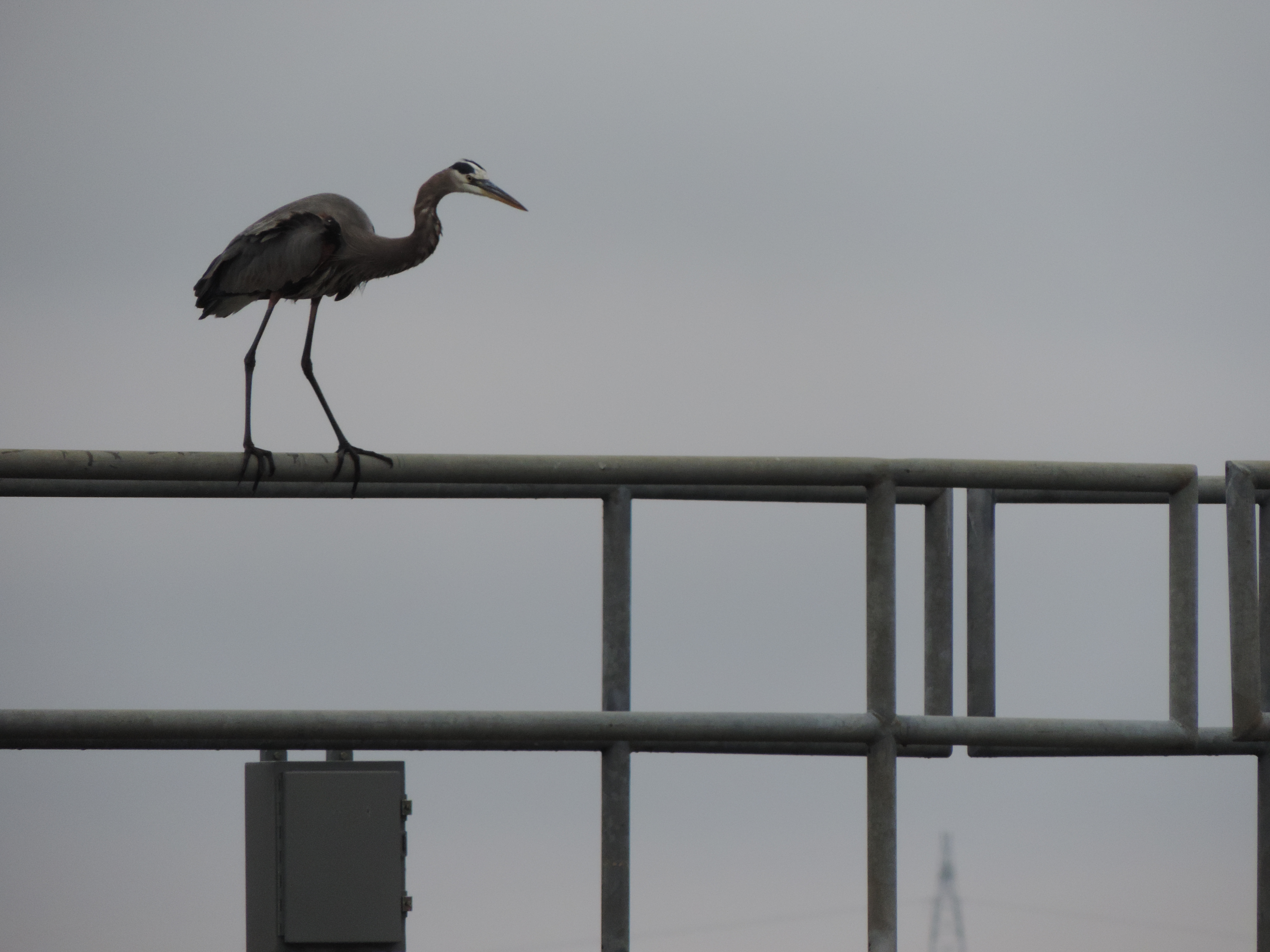
Great blue heron preparing to hunt fish trapped in the upstream lock door braces
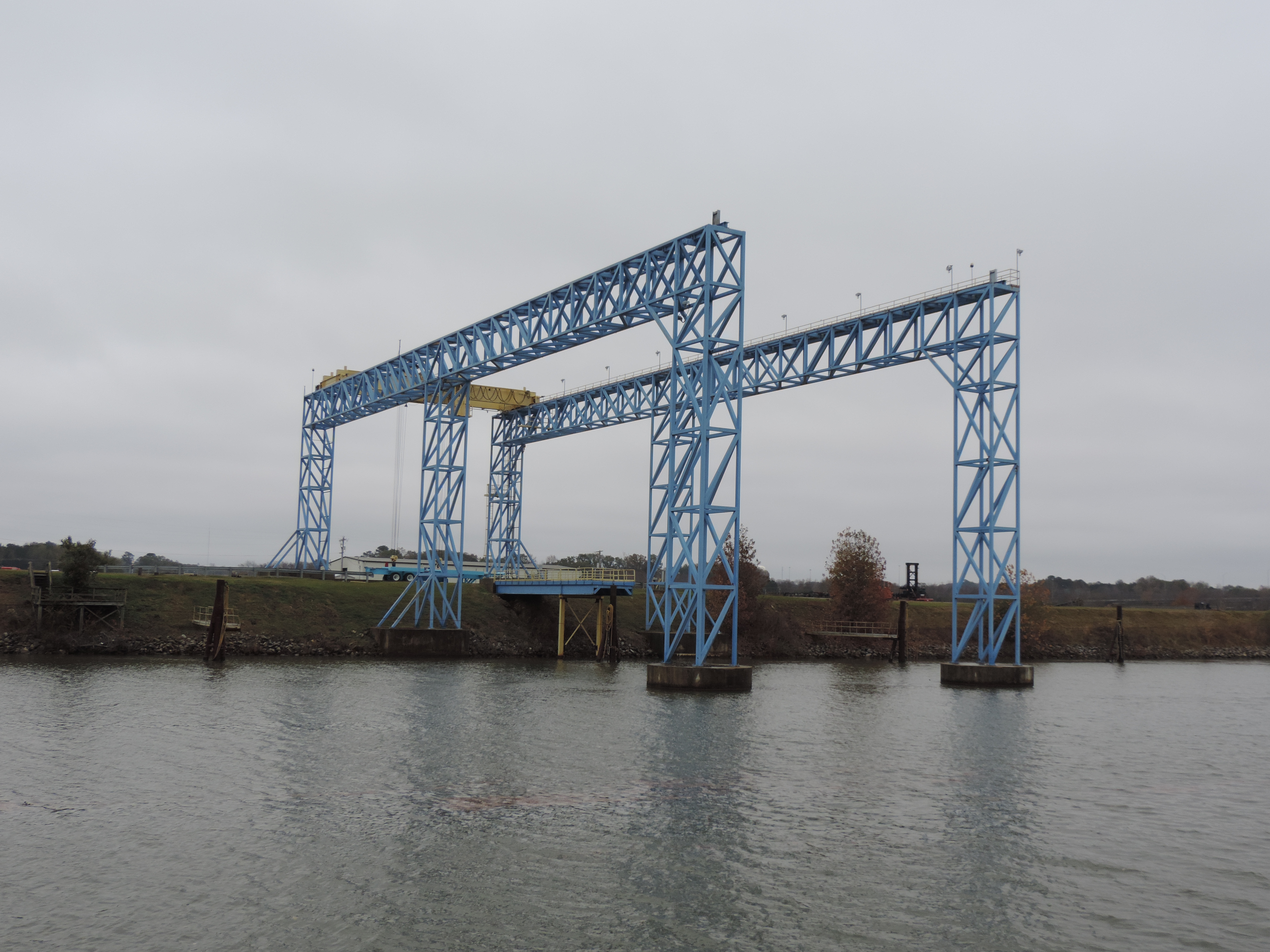
Loading station for barges at the Weyerhauser paper plant
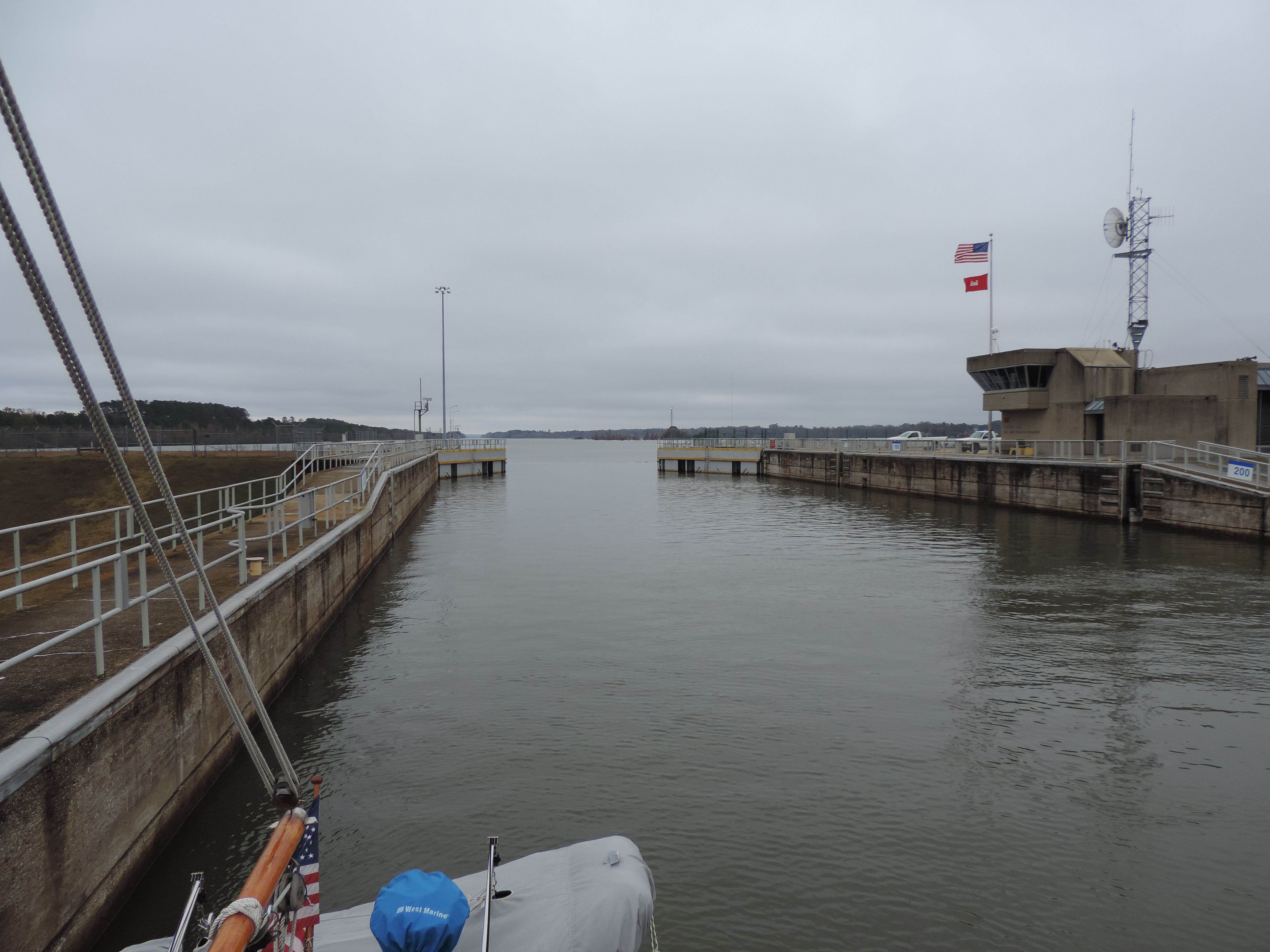
One of the locks looking upstream before the gate closes
By mid-day we reached the junction of the Tennessee River and Yellow Creek, the northern end of the Tenn-Tombigbee Waterway. We hung a left in front of some beautiful homes then past a rather large marina resort (nothing but big boats, thank you) and a few miles further anchored at Goat Island – appropriately named.
Day: 44,9SM/39.1NM – 5H50M
Trip: 3864.9NM/4441.0SM – 653H45M
The Tenn-Tombigbee Waterway is another combination of land cuts (canals) and rivers. Created by the Army Corps of Engineers, it opened in 1985 as a means of shortening the distance between the inland rivers and the Gulf of Mexico. The amount of dirt moved to create the “ditch” in the northern part of the waterway exceeded the amount of earth moved to create the Panama Canal! The upper waterway, from mile 443 to mile 417, is a 24-mile stretch known as the Divide Cut – basically a man-made canal lined with rocks.
On Friday, November 15th, we were underway a 0755 heading through the Divide Cut (The Ditch) and to an anchorage just before our first lock. We reached Cotton Springs and anchored in a quiet cove by a boat shed belonging (we think) to the Bay Springs Visitors Center.
Day: 34.8SM/30.3NM – 4H55M
Trip: 4475.8SM/3895.2NM – 658H40M
Judy and I have a well-established routine for entering and departing locks. When we contact the lock we determine whether there are any restrictions as to which side is available. We prefer to tie on our starboard side, since the stern of the boat moves to starboard when the transmission is put in reverse to slow us down. Judy has the fenders and line or lines all set on the appropriate side (sometimes both sides if there are a lot of locks coming up or if we know we’ll be in small locks with several boats). When we enter the lock (after getting the green light) we will discuss where we’re going to tie along the lock chamber wall, then I head toward that point and get the boat as close to the wall and tie-off point as I can, Judy has the first line in her hand with the end tied to a cleat, and as bow gets close to the tie-off point she loops the line and walks back aft as I bring the boat to a stop. In these locks, as well as all of the inland river locks we’ve encountered, we use a single line at the mid-ship cleat with large orange ball-fenders fastened about half way forward and half way aft to keep the boat from hitting the lock wall. The tie-off point is a floating bollard that rises and falls with the water level. (Locks in other locations have several different kinds of tie-off points including vertical pipes and loose lines.) Then we just wait for the water level to go up or down (in this case we’re locking down). Once we get the signal that we can depart the lock Judy removed the line from the tie-off point and I use the bow thruster to move the bow away from the lock wall. When the bow is angled out sufficiently I put the boat in gear with about 5 degrees of rudder to push the stern out from the wall, and we’re off agin!
Saturday, November 16th would be our “locking” day! We were underway at 0655 and entered the Whitten Lock at 0740. This is one of the tallest locks in the United States – 84 feet. By the end of the day we had locked through six locks and dropped a total of 234 feet. When we exited the Amory Lock at 1455 we still had 13 miles to go to get to an anchorage or a marina just before the next lock. Fortunately, the further south we go the later sunset becomes, so we made it into a small marina exactly as the sunset and we were able to follow the small private markers without having to use a search light. We’re going to stay the day on Sunday due to high winds and rain in the forecast. We’ll enjoy a day with shore-side electricity and heat from our two heat pumps at Aberdeen Marina, immediately upstream of the Aberdeen Lock at mile 358.
Day: 55.8SM/48.6NM – 9H55M Trip: 3943.7NM/4531.6SM – 668H35M