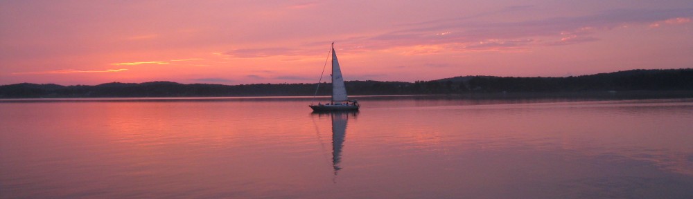
Southbound!
Follow us on MarineTraffic.com – just search for Sanderling and then select the pleasure boat registered in the United States.
September 21, 2015 (Monday)
Judy returned from Kansas on Thursday night, September 3rd, and Bob met her at the bus station in Portland after having dinner with Norm and Nancy at the Snow Squall Restaurant. On Friday we did some final shopping and prepared for our departure the next day. We did depart South Freeport on Saturday morning, September 5th, heading south and are now in a Navy-operated marina at Solomons, Maryland, having arrived here on Saturday, September 19th, two weeks to the day after departing South Freeport, Maine. We had dinner the last night with friends Norm and Nancy who were kind enough to meet us at the Enterprise Rental location in Portland on Friday afternoon, then drive us to Freeport where we had a great dinner together at the Tuscan Brick Oven Bistro – the pizza was super! Then Norm and Nancy drove us back to Straut’s Point Wharf marina where we said our goodbyes and dinghied back to Sanderling just before sunset. We departed South Freeport the next morning (Saturday),
September 5, 2015 (Saturday)
We dropped the lines to the mooring at 0625 and were underway – heading home! As much as we enjoy cruising in Maine, the weather was turning “fallish” and the temp this morning was 52F – too cold for our Florida blood. We cruised past Cliff Island and into the Atlantic Ocean, passed Cape Elizabeth at 0855 (Norm and Nancy’s summer home) and enjoyed a relatively calm day on the water with the sun shining, and at 1500 had our lines to the dock at the Portsmouth Naval Shipyard Marina Back Basin (actually in Kittery, Maine). We had quite a battle with the flood tide as we crabbed sideways into our assigned slip, but with the help of two other boaters were able to get the lines secured without difficulty.
Day: 58.4NM/67.1SM – 8H35M
Trip: 2020.4NM/232.6SM – 336H20M
While in Kittery we replenished our food stuffs from the small commissary, Bob took some photos of the now vacant former Navy prison (U.S. Naval Disciplinary Command, as it was known in the late 60s), and Judy ran five loads (small) of laundry through our onboard combination washer/dryer. The weather was pleasant with the sun shining every day and no fog!
On Monday, September 7, 2015, we cast off the lines at slack tide and made our way down the Piscataqua River and out into the Atlantic. Today we were heading around Cape Ann (since it was a holiday we didn’t want to risk tangling with “weekend” boaters in the Annisquam River/Canal) to Gloucester, where we are going to fill up with diesel fuel at about $2.00 per gallon! The ocean getting to Cape Ann was fairly smooth, but as we started to round Cape Ann the wind picked up from the south/south-west and the waves became a bit rough until we reached Gloucester Harbor. As we approached Gloucester, Judy contacted the Harbormaster’s office and got a mooring for the night. We decided to take the mooring while it was still available and get fuel early in the morning before departing, so at 1300 we picked up a mooring at the junction of the two channels into the eastern end of the harbor. We had dinner aboard and a relaxing evening.
Day: 37.2NM/42.7SM – 5H55M
Trip: 2057.6NM/2364.4SM – 342H15M
Tuesday, September 8, 2015, we left the mooring at 0715 to shift location to the fuel barge, filled with 202.4 gallons at $2.14 (with tax), and were on our way by 0755. We had a straight shot across Massachusetts Bay to Plymouth, Massachusetts (remember Plymouth Rock, such as it is), and the bay smoothed out about an hour out of Gloucester. As we approached Plymouth the weather forecast for the night was for very light winds from the south, so instead of going about four miles out of our way into Plymouth Harbor, we anchored in Warren Cove which is right on the coast a few miles east of Plymouth, in an area well protected from southerly winds. The night was quiet!
Day: 41.5NM/47.7SM – 5H55M
Trip: 2099.1NM/2412.0SM – 358H35M
The next morning, Wednesday, September 9, 2015, we timed out departure from Warren Cove to put us in the Cape Cod Canal with favorable current. We were underway at 0740 and at 0955 we entered the canal with the current which had turned westward at 0730. When we got to the Buzzards Bay (west) end of the canal we encountered 4-6 foot standing waves in the channel of the canal leading out into Buzzards Bay. The boat took water over the bow which was blown over the top of our bimini (which stands 15 feet above the water) even though we slowed down to the point of only going 6 knots through the water with the rapid current pushing us. It quickly became apparent that we couldn’t tolerate the hobby-horsing for long so we slowly worked our way over to the south side of the channel without broaching (turning sideways to the waves) and into some slightly less rough water (no standing waves) out of the channel. From there we were able to motor to the south a short distance to a channel running back east and from there to a small cove with some substantial unused moorings (Judy referred to them at “guest” moorings) that looked as though they hadn’t been used for awhile, and at 1155 had taken one. We decided to spend the night there and rest up from our ordeal in the canal. No one came out to ask us to move, and we had another peaceful night, out of the current and with only a little wind.
Day: 28.7NM/33.0SM – 4H15M
Trip: 2127.8NM/2445.0SM – 352H50M
We left the “guest” mooring at 0640 on Thursday, September 10, 2015, heading to Bristol, Rhode Island, for several nights to visit with friends Helga and Vic. The trip down Buzzards Bay was punctuated by fog, heavy rain with lightning and thunder, and some 3 foot waves during the rain storms, but we turned the corner into the Sakonnet River in the rain at 1120 and at 1415 had lines to a mooring at Bristol Marine, in Bristol, Rhode Island. Judy was amazed at the number of sailboats on moorings in Bristol Harbor; included were a number of Nathanial Herreshoff designs maintained in good shape by the owners who love them!
Day: 51.0NM/58.6SM – 7H35M
Trip: 2178.8NM/2503.6SM – 360H25M
We were in Bristol, RI, for two nights, and spent the day on Friday with friends Helga and Vic. With them we walked the grounds of Blithewold and they showed us the newly renovated Bristol Art Museum in which they had a major roll in arranging the long-term lease, soliciting major contributions and donors, meeting with architects, and doing a lot of the interior work. They have received a special award from Blithewold, and one of the galleries at the Art Museum is being named after them! We had an early dinner with Helga and Vic and two other friends from the 80s when Bob lived in Bristol, then Vic drove us back to the marina where we caught the last launch of the evening (around 1900) back to Sanderling.
Saturday morning, September 12, 2015, dawned overcast but calm, and we were underway at 0605 heading for the Long Island Sound. We turned out of Narragansett Bay rounding Point Judith at 0945, and at 1205 Watch Hill and it’s beautiful homes was to starboard as we entered Long Island Sound north of Fisher’s Island to avoid the higher tidal currents at the Race or at Plum Gut – the water was nonetheless turbulent as we crossed the boundary between ocean and sound. We continued westward along the north shore of the Sound to Duck Island about four miles west of the Connecticut Rive along the north shore of the Sound. Duck Island is a very small island with long breakwaters extending from the island to the west and to the north, making a good anchorage when then wind is from the east or south. The NOAA forecast for Saturday night was for winds 10-15 MPH from the southeast, so this was an ideal spot. When we arrived at 1730 there were four sailboats and three power boats anchored in various locations in the protected area. We picked a good spot with plenty of swinging room in 8 feet of water and let out 125 feet of chain; we backed down at 1200 rpm to make sure the anchor was holding well.
Day: 74.4NM/85.5SM – 11H25M
Trip: 2253.2NM/2589.1SM – 372H10M
As the afternoon turned to evening several boats departed the area as the wind (and waves) increased. By 2000 it was apparent that NOAA and the other weather services had badly misjudged the wind on the Sound, although it continued out of the southeast and later from the east. Here’s what Judy wrote in the log about our experience that night:
What a night! The weather folks, including NOA really missed this one! Winds were predicted 10-15 with gusts to 20 [MPH] – we had steady winds of 30-35 for about 6 hours! Anchor alarm was sounding [GPS location issue], winds were terribly loud, boat was swinging, cats were scared, sailboat next to us had sail come loose at 0200 in the morning! Bob got about 4 hours of sleep; Judy got about 2! Wild night!
The wind started slacking about 0400 (I think that’s when Judy went to bed for some much needed sleep) and by 0700 they were still gusting in the 20s, but but 0800 they had slacked even more. The anchor was really buried in mud/sand and we had to use the boat’s forward momentum to break it loose as the windlass couldn’t pull it out without help.
We were underway at 0805, Sunday, September 13, heading across the Sound and to the west to Port Washington. The wind continued from the east as did the tidal current for a good part of the day, so we made some good time. As we approached Fort Washington/Manhasset Bay the current turned against us and with the easterly wind the water again became rough and we slowed down a bit. We had our lines to one of the 18 free-for-two-days moorings in Manhasset Bay at 1825.
Day: 67.4NM/77.4SM – 10H20M
Trip: 2320.6NM/2666.6SM – 382H30M
Weather in the New York/Long Island area was poor on Monday (windy), so we stayed the day on the mooring. Later in the afternoon we took the water taxi to Port Washington and ate an early dinner at Diwan, a great Indian restaurant recommended by the water taxi driver. After dinner we got a few items at a nearby grocery store and then hailed the taxi by VHF radio for a ride back to Sanderling.
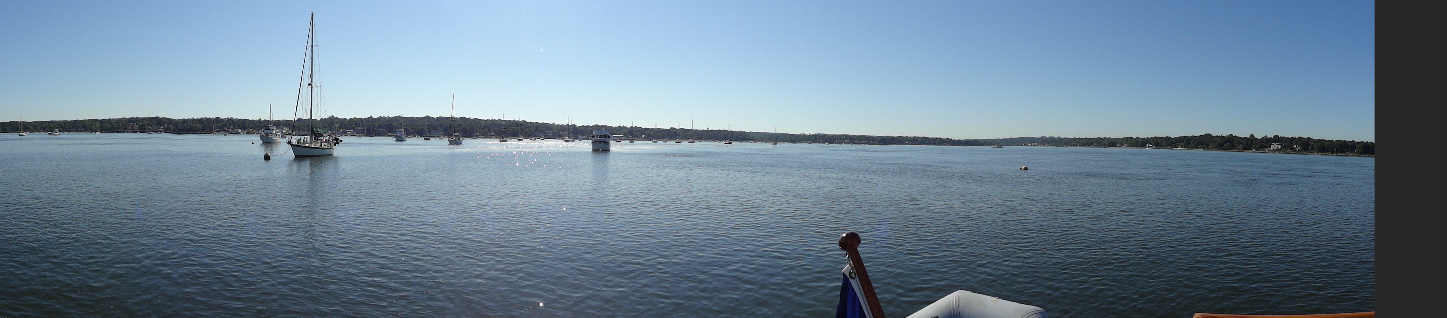
Port Washington mooring field
Tuesday, September 15th we were underway at 1045 in order to catch the fair ebb current at 1130 on the East River through New York City. Interestingly, although Long Island Sound and the East River are connected, Long Island Sound floods from east to west and the East River floods from west to east – the flood tides meet on the western end of Long Island Sound and the tide charts actually have current arrows pointing at each other in the area in the area between Frogs Neck and Manhasset Bay! Ebb tide is just the opposite in the two bodies of water.
We were traveling at 9.1 knots through Hell Gate (not bad considering that the current alone can reach 6 knots) and shot under the Brooklyn Bridge at 1325 and under the Verrazano Narrows Bridge at 1415. We continued south out of New York Harbor and anchored on the west side of Sandy Hook just north of the Coast Guard station at 1535. The night was quiet!
Day: 33.4NM/38.4SM – 4H50M
Trip: 2354.0NM/2704.9SM – 387H20M
The next four days were a race to get to Solomons, Maryland, before forecast winds with gusts near 30 from the north started on Sunday. So we were underway before we could see the surface of the water at 0545 on Wednesday, September 16, following the “bread-crumb” trail on the chart plotter out of the anchorage and around the western side of Sandy Hook. By the time we reached the northern side we could see the water and make out the navigation aids without the help of a spot light. We ran down the east coast of New Jersey to Atlantic City where we tied to the dock at Gardners Basin and went ashore to eat dinner at the Back Bay Ale House, filled the water tanks, had a good night’s sleep, and were underway at 0655 on Thursday. As we were getting ready to cast off lines, we discovered that our bow line had been cut with a knife during the night and was dangling in the water; fortunately our spring lines were holding us in place as the large clam boats passed on their way out to vacuum the bottom for clams! In the six times we’ve stayed at Gardners Basin, this is the first time that we’ve experienced any sort of vandalism – it’s hard to tell if it occurred from someone on the dock or in a small boat. The line was definitely cut with a rather dull knife!
By the time we reached Cape May we decided we’d continue on into Delaware Bay and find an anchorage along the north shore south of the nuclear power plant. We exited the Cape May Canal into Delaware Bay at 1305 and anchored at Cohansey Cove at 1815 in 11 feet of water. The current from the Cohansey River was causing the water in the area to move rather quickly into the Bay, and I misjudged the speed at which we were backing when we set the anchor. Consequently, the anchor chain snapped tight as the anchor held firm (very unusual) and the block supporting the anchor chain stopper cracked near the base between two layers of wood and fiberglass. Not a catastrophy, but another repair to think about.
Here’s what I wrote in the log about the night at Cohansey River entrance:
Terrible night with wave induced rolling along with 15 MPH wind from the south until after mid-night, then continuing with only 2 short periods of sleep! Tide and river current interaction?
We were underway at 0625 on Friday, September 18th, after again having to use forward motion of the boat to free the anchor – it was buried deep in mud (guess that’s why it held so quickly when anchoring). The current on Delaware Bay was against us and we were making only 4.5-5.0 knots most of the way to the Chesapeake and Delaware Canal, then the current in the canal was against us as well. When we entered the canal at Reedy Point Judy spotted an eagle perched on a short tower. We followed a sailboat who seemed to know what he was doing along the northern bank of the canal, and found that the current was about 0.4 knots less close to the bank – a good trick to keep in mind in the future. We exited the canal at 1310 and anchored in Bodkin Bay (just off the southern shipping channel into Baltimore) at 1620 in a beautiful, quiet location.
Day: 71.8NM/82.5SM – 11H55M
Trip: 2575.9NM/2955.9SM – 422H20M
When we awoke on Saturday morning, September 19, 2015, the fog had descended. Nothing as thick as we experienced in Maine, and it soon lifted enough that we could see several other boats anchored nearby and eventually the shoreline about 1/4 mile away. We were underway at 0735, under the Annapolis Bay Bridge at 0920, turned into the Patuxent River at 1455 at Cove Point, and had our lines to the dock at Point patience Marina (Navy Recreation Center, Solomons) at 1615. We’re going to stay here for a few days while Judy drive home for some professional meetings and to work at “her” hospital. Bob is going to work on boat projects and take care of the cats!
Day: 54.8NM/63.0SM – 8H40M
Trip: 2630.7NM/3022.9SM – 431H00M
We had dinner on Sunday evening with Jennifer and Don from Edgewater at the CD Cafe – one of our favorites in this area! They departed shortly after dinner as they both teach the next day in high schools south of Annapolis.
Judy picked up a rental car from Enterprise in Lexington Park on Monday morning, we did some quick shopping, and then around noon she headed south to Florida.
While Judy was in Florida, Bob worked on maintenance items and had dinner on the following Saturday with Jennifer and Don. We ate at Stoney’s Kingfisher restaurant and I had “original” crab cakes. They were just as good as I remembered; this is the only place I get crab cakes on the east coast – nowhere else compares!
Judy returned from Florida on Sunday evening. While she still had the rental car we did some last minute grocery shopping. On Monday she turned in the rental car, then we got Sanderling ready to get underway, filled the water tanks, and ate dinner with dock friends at Boomerang’s Restaurant – good burgers and ribs.
The weather forecast for Chesapeake Bay for the next two days was decent; by Wednesday evening the weather was deteriorating – waves on the lower Chesapeake and Hampton Roads were forecast to reach 5-6 feet on Thursday – not a day we would want to be crossing into Norfolk from any anchorage on the northern side of the area. Our goal was to be through Hampton Roads and into Norfolk and into a protected anchorage by Wednesday afternoon.
On Tuesday, September 29, 2015 we were underway from Point Patience Marina at 0635, headed out the Patuxent River, and turned south into Chesapeake Bay. The tidal current was with us and we made good time; even the 15 mile leg from Point No Point Light to Smith Point Light (across the mouth of the Potomac River) was relatively calm. Once we had Smith Point Light abeam the waves picked up to 2-3 feet from the south-east, and the ride from there to the Piankatank River (Stingray Point) was rough; we had to tack back and forth to lessen the impact of the waves which resulted in a much longer leg than originally planned. We anchored in the rain in Godfrey Bay on the south side of the Piankatank River at 1630, with some protection from the waves and the main body of Chesapeake Bay. After a few hours the smaller wind generated waves died down and the rest of the evening and night were quiet and pleasant.
Day: 62.0NM/71.2SM – 9H55M Trip: 2692.7NM/3094.1SM – 40H55M
Wednesday, September 30th, dawned overcast so it wasn’t as light as early as we had hoped. We got underway in the dark at 0630, with Judy following our “bread crumbs” on the chart plotter from our entrance into the river the day before. Several other boats were leaving the river at about the same time, so we had a small procession heading back into Chesapeake Bay and turning south toward Norfolk and Hampton Roads, about 35 miles away. We had planned a route into a small anchorage in the Lafayette River, just south of the naval base, as a good place to stop for the day (and get off the Bay), but with a nice push from the ebb tide for the first couple of hours and a boost in our engine’s RPMs we made good time down the Bay. By 1000 it was apparent that we could get further than planned, and we extended our route into the Dismal Swamp Canal. We were also getting weather forecasts discussing hurricane Joaquin, so we wanted to get not just to a protected anchorage but into a good hurricane hole in case Joaquin developed into a major threat or even if he dwindled into a bad nor’easter. Elizabeth’s Dock in the Dismal Swamp Canal became our goal.
We passed Old Point Comfort and entered Hampton Roads at 1215 after having a foul tidal current for several hours. The chart plotter showed that we should be at the mouth of the small river leading to the Dismal Swamp Canal (Deep Creek Lock) at 1500 – the last lock up for the day is at 1530, so we would have to run the three miles up Deep Creek in 30 minutes – should be plenty of time. And we did. We got to the junction of the ICW and Deep Creek at 1500 after sailing through Norfolk with no delays for bridges (most low bridges have been replaced with high bridges, except for the three railway bridges), turned into the creek, and arrived at Deep Creek Lock at 1520! The lock tender was cutting the grass at the lock so didn’t get to us until about 1530, then had to lower the water in the lock. By the time we entered the lock, chatted with Robert, exited, and hung a sharp right we had our lines to Elizabeth’s Dock at 1610.
Day: 58.7NM/67.55SM – 9H00M Trip: 2751.4NM/3161.5SM – 449H55M
We will be staying here at Elizabeth’s Dock for a few days until hurricane Joaquin gets sorted out. A large sailing cat came into the canal and moored to the dock at 1130, and it sounds like two more sailboats are currently entering the lock and have asked about mooring at the dock. We’ll soon have a storm party!
October 5, 2015 (Monday)
After five days at Elizabeth’s Dock at Deep Creek Lock in the north end of the Dismal Swamp Canal, the winds are finally slowly abating and Wednesday looks like a good day to cross Albermarle Sound. We’re going to depart the dock tomorrow morning (Tuesday) at around 0900 and continue south through the canal and out at South Mills; then we’ll anchor in the Pasquotank River north of Elizabeth City for the afternoon and evening. We hope the forecast holds true; by Wednesday the wind should be out of the north at 10-15 MPH and conditions on Albermarle Sound should be conducive to a decent crossing into the Alligator River where we’ll anchor for the night just before entering the Alligator-Pungo Canal. We’ll stop for fuel the following day (Thursday) at Dowry Creek Marina on the Pungo River just east of Bellehaven, then go a little further and anchor for the night, again. With any luck the various rivers and sounds we have to transit for the rest of the week will be gentle and allow an uneventful passage.
October 12, 2015 (Monday)
Here’s where we’ve been for the past week:
Tuesday, October 6th, departed Dismal Swamp Canal and anchored for the night at Goat Island in the Pasquotank River.
Wednesday, October 7th, finished the Pasquotank River past Elizabeth City, NC, and across Albermarle Sound (fairly calm) to anchor for the night near Tuckahoe Point, just before the Alligator-Pungo Canal.
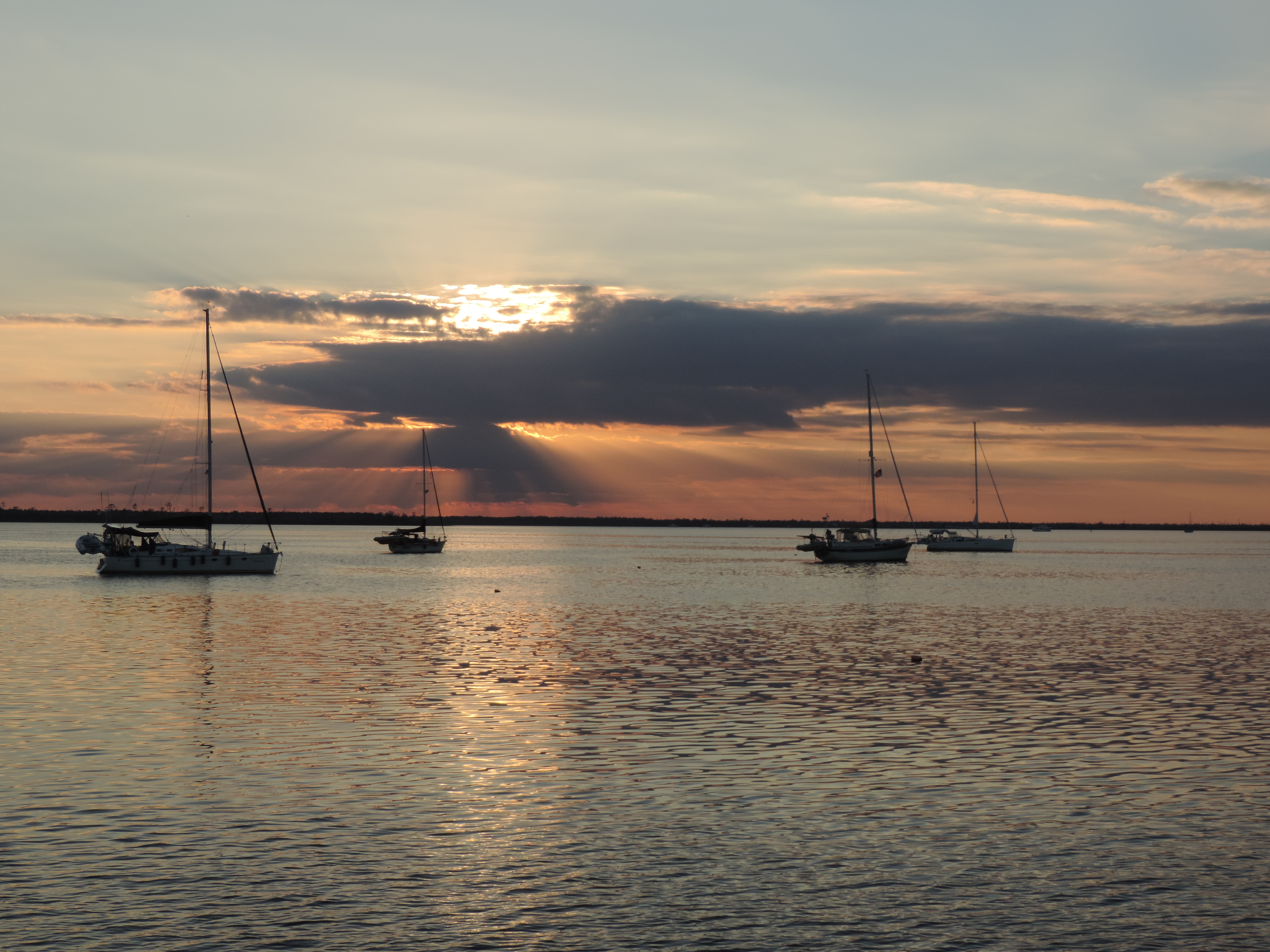
Alligator River Deep Point anchorage
Thursday, October 8th, transited the Alligator-Pungo C
anal into the Pungo River, stopped at Dowrey Creek Marina for 254 gallons of diesel fuel (no water available because their well had flooded with all the recent rain), then continued on a short distance and anchored in Pungo Creek for the night.

Washington NC free town dock
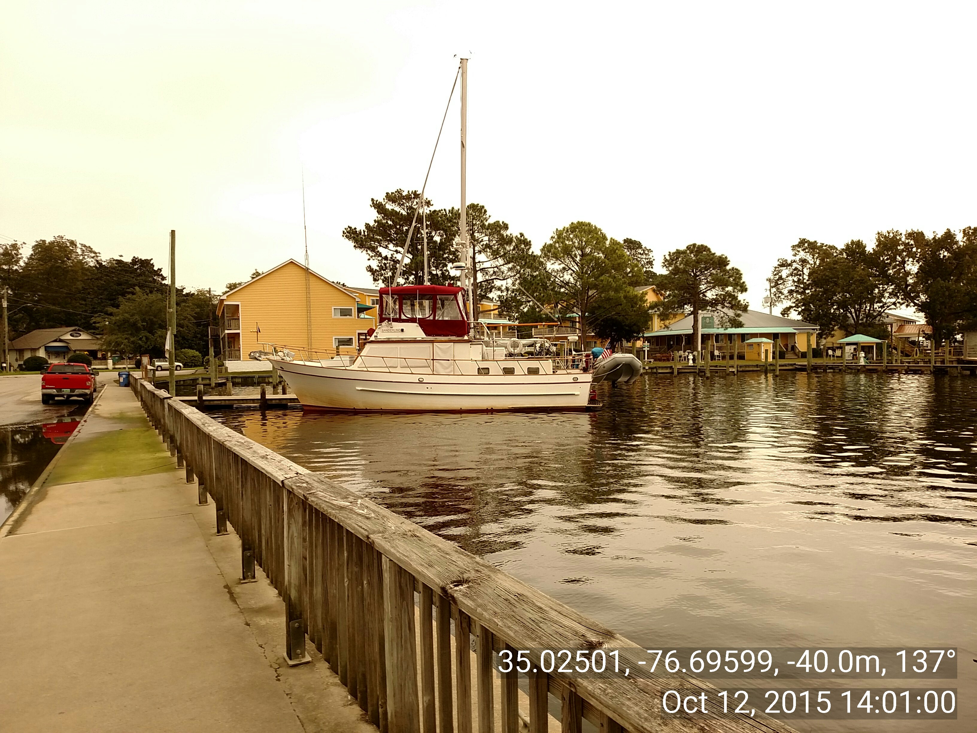
Friday, October 9th, finished the Pungo River and entered the Pamlico River where we turned westward and cruised the 30 miles upstream to Washington, North Carolina (Little Washington), where we filled the water tanks at the “shopping dock” at no charge, then were directed to a 48-hour free dock a short distance away. Had a nice time in this quaint little town incorporated in 1776 (the first town in the US named after George Washington). Had the best shrimp and grits at a nearby restaurant (perhaps second to Bob’s very own). We stayed for two nights.
Sunday, October 11th, returned the 30 miles back down the Pamlico River and resumed the ICW track into Goose Creek where we anchored in Campbell Creek for the night.
Oriental NC Town Dock
Monday, October 12th, finished Goose Creek past the Coast Guard station and fishing boats, then into the Neuse River (got a little rough with following seas blown by 15 MPH winds from the NE out of Pamlico Sound). Continued up the Neuse to Oriental where, for the first time in eight or so visits, we were able to get a spot on the free town dock (free for 48 hours). Ernie (the young cat) had a cut that required the attention of a veterinarian, so Judy took him to one just two blocks from the town dock (this is a very small town, pop. 900); the cut required stitches to close, and we had Ernie back by mid afternoon, thanks to vet Sherri Hicks. Ernie is groggy and wearing a collar – you can only imagine how much he hates that!
Tomorrow, Tuesday, we’ll head to Morehead City/Beaufort and then west toward Camp Lejeune and Mile Hammock Bay where we’ll anchor for the night. OR, we’ll stop in Morehead City at the Sanitary Seafood Company dock and have dinner there, then head to Mile Hammock Bay the next day.
Water from the recent storms is still causing flooding in some of the rivers in South Carolina so we’re taking our time getting there. Forecasts indicate the water should be back to near normal by Thursday this week.
All is well!
Posted October 18, 2015
Ernie is almost back to his normal, rambunctious self (except for the shaved area on his butt where the hair is slowly growing out).
Cedar Creek
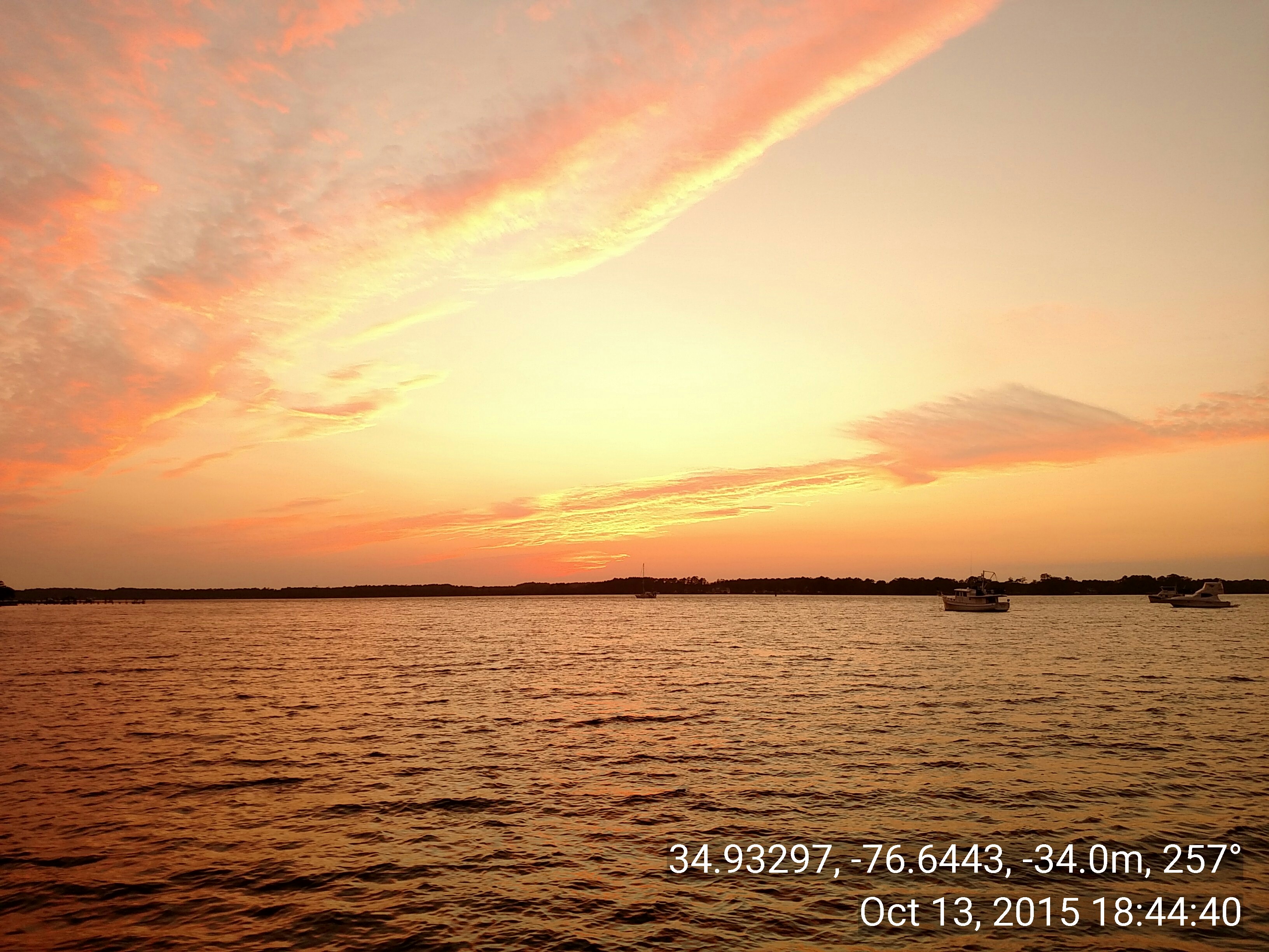
We left Oriental on Tuesday, October 13th as planned, at 0915 but only went as far as Cedar Creek (MM 187.7), about 8.3SM/7.2NM, where we anchored at 1030. We were able to anchor mostly out of the SW winds so had a fairly calm day at anchor catching up on work and reading. Ernie wore his collar at night, only, and kept Judy awake for a good part of the night dealing with his collar. During the evening the wind subsided and the forecast for Bogue Sound for the next day was good.
Day: 8.3SM/7.2NM – 1H15M Trip: 2972.6NM/3415.7SM – 493H30M
We were underway from Cedar Creek (MM187.7) at 0735, Wednesday, October 14th, rounded the bulkhead at Morehead City (next to Beaufort) at 10:15, and turned into Bogue Sound. The dock at the Sanitary Fish Company had only one sailboat, but we decided to keep going since the Sound was fairly peaceful and we wanted to get further along our route south. Bogue Sound turned out to be a great transit; the wind and water were calm, and there were very few boats moving in our direction. We did pass several small working boats dragging nets in the channel, but they moved off to the side to let us pass. We anchored in Mile Hammock Bay at Camp LeJeune, North Carolina, just off the ICW, at 1550. During the rest of the afternoon we were joined by two other power boats (a trawler and a beautiful Legacy MK3 tug) and four sailboats (including Toby with CJ aboard with whom we shared the town dock at Oriental).
Day: 66.5SM/57.9NM – 8H15M Trip: 3030.4NM/3482.2SM – 493H30M
We were underway at 0735, October 15, 2015, from Mile Hammock Bay (MM244.5), went through two bridges with minimal delays waiting for openings, then arrived at the Wrightsville Beach Bridge where the bridge tender would not open even three minutes past the normal on-the-hour opening at 1300 to let us and Second Option (a sailboat from Mile Hammock Bay the night before) get through – so we waited – and talked from boat to boat – and about 1330 a southbound commercial tug called the bridge for an opening. We hadn’t been able to identify the tug visually, but as soon as we heard it call the bridge we looked again, and sure enough, there was a small tug pushing what appeared to be a LCM – so we were able to join the parade and pass through the bridge at 1335 (25 minutes earlier than the “normal” bridge opening). We followed the tug (and Second Option) through the shallow spots between Wrightsville Beach and Snows Cut, with the tug grounding several times while leading the way and “dredging” the shallows! Just before Snows Cut, which leads to the Cape Fear River, we turned off into Carolina Beach and took a mooring ball at 1530. Second Option got to a mooring ball a few minutes earlier.
Day: 51.1SM/44.5NM – 7H55M Trip: 3074.9NM/3533.3SM – 501H25M
From Carolina Beach mooring field it was a short trip through Snows Cut, down the Cape Fear River to Southport, then a short distance to the South Harbor Village Marina at MM 311. We had dinner at a nice Italian Restaurant (others would describe it as “excellent” but I’m not a big fan of Italian food, other than pizza) with Bill and Terri from Second Option.
Day: 16.9SM/14.7NM – 2H45M Trip: 3089.6NM/3550.2SM – 504H10M
Today’s weather was questionable when we arrived at the marina, but we decided to wait until we awoke in this morning to decide whether to stay a second night at the marina – we’re glad we waited to decide; overnight the forecast changed from high, gusting winds, to fairly calm conditions on the ICW.

Barefoot Landing Marina,Myrtle Beach, SC
We were underway at 0730, October 17th, from the South Harbor Village Marina (MM 311.1), at 0835 we transited Lockwood Folly at mid-flood tide and saw no less than 8.7 feet of water depth. This is an area of shifting shoals with temporary buoys placed to help guide boats through the hazards. At 1330 we had our lines to the dock at Barefoot Landing Marina with the help of Nick, Bruce, and Jordan, where we are staying for two nights in order to do some grocery shopping and change the engine oil. This is a nice stop with a good variety of restaurants to choose from, and interesting people-watching among the crowds from the Myrtle Beach area who seem to frequent the Barefoot Landing shopping/entertainment area. Bruce gave us tickets for House of Blues where we heard a Bon Jovi tribute group playing to an enthusiastic crowd!
Day: 42.7SM/37.2NM – 6H00M Trip: 3126.8NM/3592.9SM – 510H10M
Posted October 31, 2015
A quick summary of the past two weeks since Barefoot Landing Marina
Departed Barefoot Landing Marina on October 20, 2015; anchored in South Santee River (west branch) MM415.
Departed South Santee River on Wednesday, October 21st; anchored Church Creek (south of Charleston) at MM487
Departed Church Creek on Thursday, October 22, 2015; anchored Bull Creek (by Dufusky Island and south of Beaufort, SC) at MM566
Departed Bull Creek on Friday, October 23, 2015; anchored Walburg Creek (immediately off St. Catherine Sound) at MM619
Departed Walburg Creek on Saturday, October 24, 2015: anchored at Wallys Leg MM666.2
Departed Wallys Leg on Sunday, October 24, 2015; anchored Little Cumberland Island (west side) at MM693.3
Departed Little Cumberland Island on Monday, October 26, 2015; took a mooring ball at Fernandina Beach (just south of the Florida/Georgia border) at MM717
Judy drove home and to Orlando in a rental car for meetings; returned on Wednesday, October 28th
Departed Fernandina, Florida, on Thursday, October 29, 2015; took mooring ball at St. Augustine at MM777.9
Departed St. Augustine on Friday, October 30, 2015; anchored in north end of Mosquito Lagoon at MM862 (a long day – almost 12 hours underway)
Departed Mosquito Lagoon on Saturday, October 31, 2015; anchored in the Banana River just west of Port Canaveral at what would be MM902 except we’re no longer on the ICW.
Tomorrow we have about 15 miles to go to reach Manatee Cove Marina; we anticipate arriving around noon. It will take us most of the afternoon to get essentials from the boat to our home and get our home back in semi-living condition.