Posted March 22, 2014
By mid-day on Thursday, March 13th the forecast was for decent weather the next day, so we made plans to get underway then. We were going to leave our car at the marina in Clearwater and return to get it after getting back home.
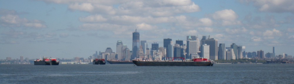
Friday, March 14th, we were underway at 0840 in sunny skies with the temperature a chilly 53 degrees and wind out of the east at 5-10 knots. The day grew warmer as the sun climbed higher. The water along the intracoastal south of Clearwater was clear and blue-green. By about 1330 in the afternoon we were across the shipping channel leading into Tampa Bay. We anchored for the evening at 1810 at the east side Stickney Point, about mid-way between Clearwater and Ft. Myers.
Day: 64.3SM/56.0NM – 9H30M Trip: 4762.3NM/5472.2SM – 795H20M
Saturday, March 15th we were underway at 0735 with the temperature of 56 degrees and practically no wind. The forecast was for beautiful, warm weather for the day, then cloudy and cooler on Sunday. We knew that we would encounter a lot of weekend boaters and we weren’t disappointed. It’s amazing how inconsiderate and downright dangerous some boaters can be, particularly when the inexperienced weekenders get on the water cramming all the boating into a day or two after sitting working all week. The waterway along this stretch of the coast runs through some narrow channels and wide bodies of shallow water with narrow channels, so all the boats get funneled into a relatively small area. One extremely dangerous boater, proceeding at a high rate of speed (for the water) and throwing a large wake chose to thread his way between us and a pontoon boat full of older boaters rather than slow down and wait for a safe passage; he passed about 20 feet away from each of us, nearly capsizing the pontoon boat. We were so shocked at his actions that we didn’t have time to get the name of his boat and report his dangerous behavior to the Coast Guard. Fortunately, the pontoon boat managed to stay upright.
We then entered the Ft. Myers area late in the afternoon when all the boaters in the area were returning after a day in the sun drinking and playing in the water. It was an incredible process threading through a long, narrow channel leading eastward from San Carlos Bay into Ft. Myers/Cape Coral and the Caloosahatchee River leading to Lake Okeechobee. The entire channel and river is a slow speed, no wake area, but everyone is heading home, are tired, and want to get to their destination as soon as possible. There were literally hundreds of boats of all shapes and sizes in an easterly parade. By the time we passed Cape Coral the parade had thinned out with only a few larger boats continuing up the river. We anchored in a wide area of the Caloosahatchee River just upstream of Negro Head in six feet of water. The full moon rose early in the evening and provided a bright light on the water throughout the night.
Day: 75.6SM/65.8NM – 10H55M Trip: 4828.1NM/5547.8SM – 806H15M
The forecast for Sunday, March 6, indicated that the weather was going to deteriorate during the day bringing 20-25 MPH winds, possible rain and cooler weather. We decided to proceed a short distance up the river through the Franklin Lock and try to get a slip at the Franklin Marina and Park, operated by the Army Corps of Engineers. Our Golden Age Pass would get us a discounted price of $12.00 per night for a slip with electricity and water – just the place to spend a blustery day or two. Judy contacted the park and there were slips available, so upon exiting the Franklin Lock we proceeded into the park marina to our assigned slip. What a beautiful place. Operated mainly for RVers, they have eight slips available, several of which will accommodate a boat the size of Sanderling.
Day: 19.6SM/17.1NM – 3H30M Trip: 4845.2NM/5567.4SM – 809H45M
Due to conditions on Lake Okeechobee (known for it’s rough water) forecast for Monday and into Tuesday, we decided to stay at the Marina and Park at Franklin Lock for another day, then to depart on Tuesday to go to the west side of Lake Okeechobee, giving the lake a little extra time to settle down for a decent passage. Consequently, we spent the day on Monday, March 17th at the park; Judy worked on various things dealing with her legal nurse consulting business and I reading.
On Tuesday, March 18th, we departed the park at 0830 and continued up the Caloosahatchee River and through the Ortona Lock. At Moore Haven Lock we tied bow and stern to two dolphins after passing through the lock. We were now on the “lake” side of the river and locks and dams leading to the lake. The next day would take us a short distance southerly around the rim of the lake (protected from the lake itself by land) and then out into the lake for the 22 mile crossing.
Day: 42.9SM/37.3NM – 6H30M Trip: 4891.5NM/5620.7SM – 816H15M
Wednesday, March 19th and we were underway at 0715. The wind was calm and the temperature 55 degrees with the promise of sunshine for most of the day. A good day for crossing the lake. We worked our way through what is essentially a canal around the rim of Lake Okeechobee for a few miles, then turned eastward at Clewiston (the Clewiston Lock is not on the rim route, but is used only when proceeding away from the lake into the town of Clewiston). We turned into the channel that crosses the lake and immediately were greeted by wind out of the northeast at about 10-15 MPH – not enough to cause us to abandon our crossing, but nonetheless enough to make the crossing a bit “lumpy.” The autopilot was able to steer us in a good straight line to keep us in the narrow channel in the shallow lake, and at 1225 we motored through the Port Mayaca Lock on the eastern side of the lake. No lock opening was required, as the lake level was high enough that both lock doors were open and we could simply pass through into the St. Lucie Canal on the eastern side of the lock. In all the hundreds of locks we have been through in the past several years, this is the only time that we didn’t have to “lock” through – that is, tie up to the lock wall in the chamber while the water was raised or lowered. We continued down the St. Lucie Canal, Locked through the St. Lucie Lock and into the St. Lucie River. We anchored for the night in Stuart, Florida, off Britt Point at 1725.
Day: 70.2SM/61.1NM – 10H10M Trip: 4952.6NM/5690.9SM – 826H25M
Thursday, March 20th brought an overcast day but the temperature was a balmy 67 degrees and wind was negligible. We were underway at 0710, motoring back out into the river, through the old road bridge and then the railroad bridge, and a few miles later into the Atlantic Intracoastal Waterway at mile 990. Home was less than ninety miles away. It was the first time in almost 10 1/2 months since we were in the Indian River Lagoon. We turned northward through Ft. Pierce, Vero Beach, past Sebastian Inlet, and anchored just south of the Melbourne Causeway for the night at 1755.
Day: 77.7SM/67.6NM – 10H45M Trip: 5020.3NM/5768.6SM – 837H10M
The next morning, Friday, March 21, 2014, we were underway at 0750 even though we had a very short distance to complete our circumnavigation of the east coast (the “Great Loop”). When we turned into the Banana River and passed through Mathers Bridge we were almost home; we also encountered dozens of rowers, both male and female, in all sorts of water craft, including eights, fours, quads, paddle boards, and kneeling boards (not sure if that’s the correct name). They must have been from one of the local high schools judging from their ages. We turned into the channel leading to the Manatee Cove Marina, then entered the marina area and tied to the fuel/pumpout dock before heading to our assigned temporary slip. While we were gone many of the old docks were removed and new docks constructed in their place necessitating moving boats around the marina to avoid the construction areas. Just before we returned one dock had been completed by the contractor and all the boats from “our” dock had been moved temporarily to slips on the newly completed dock.
After a friend gave Bob a ride home (with our two cats) to retrieve a car, we offloaded most of the things we needed to remove from the boat right away while we were at the fuel dock which enabled us to back the car close to the boat so we wouldn’t have to carry things as far as we would have to were we in a slip. We then proceeded to our assigned temporary slip only to discover that the new slip was too narrow (by about 8 inches) for Sanderling’s beam. We slowly backed out into the fairway and contacted the marina office. Mark, the new manager, came up with another empty slip and when we nosed into that slip we had about a foot to spare. Friends on the dock helped catch us and hold us in position while we got lines, fenders and fenderboard in place.
WE WERE HOME!
Day: 11.9SM/10.4NM – 1H40M Trip: 5030.6NM/5780.5SM – 838H50M
Since Chicago we had traveled 3,127SM (well over half of the total mileage). We had traveled 593SM from Mobile, Alabama (I had estimated 600 miles from Mobile).
Total fuel consumed: TBD